

Hagedorn et al.: Lead-2JO Dating and Heavy Metal Concentration in Recent Sediments
363
Continental Flood Basalt (CFB) formations (e.g. Naldrett et aI., 1995). Continuous permafrost
up to 300 m depth is present below an active layer of 0.5 m to 2.5 m. Mean annual air
temperature is sub-zero (-9.8°C) but maximum daily air temperatures reach 15°C in July.
Between October and May, the lake is covered by ice and the peak of snowmelt is usually
around the end of May and June. Total liquid precipitation amounts to 300-500 mm a-I (Galaziy
and Parmuzin, 1981). The main wind direction is east to northeast with maximum speeds of
about 40 mls. About 10 rivers contribute water to the lake and the total runoff is between 500
and 800 mm a-I. Lama Lake itself drains into Pyasino Lake, situated to the northwest (Figure
1). The lake is periodically dimictic with neutral to alkaline conditions (Kienel, 1998). Data on
groundwater flow and the water balance of the catchment are not available.
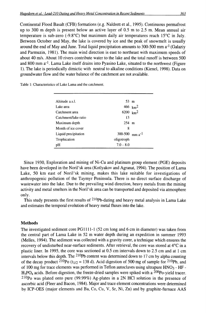
Table I: Characteristics of Lake Lama and the catchment.
Altitude a.s.l.
Lake area
Catchment area
Catchment/lake ratio
Maximum depth
Month of ice cover
Liquid precipitation
Trophication
pH
53 m
466 km 2
6200 km 2
13
254 m
8
300-500 mma- l
oligotroph
7.0 - 8.0
Since 1930, Exploration and mining of Ni-Cu and platinum group element (PGE) deposits
have been developed in the Noril'sk area (Kotlyakov and Agranat, 1994). The position of Lama
Lake, 50 km east of Noril'sk mining, makes this lake suitable for investigations of
anthropogenic pollution of the Taymyr Peninsula. There is no direct surface discharge of
wastewater into the lake. Due to the prevailing wind direction, heavy metals from the mining
activity and metal smelters in the Noril'sk area can be transported and deposited via atmosphere
only.
This study presents the first results of 210Pb-dating and heavy metal analysis in Lama Lake
and estimates the temporal evolution of heavy metal fluxes into the lake.
Methods
The investigated sediment core PG 1111-1 (52 cm long and 6 cm in diameter) was taken from
the central part of Lama Lake in 52 m water depth during an expedition in summer 1993
(Melles, 1994). The sediment was collected with a gravity corer, a technique which ensures the
recovery of undisturbed near-surface sediments. After retrieval, the core was stored at 4°C in a
plastic liner. In 1995, the core was sectioned at 0.5 cm intervals down to 2.5 cm and at 1 cm
intervals below this depth. The 210Pb content was determined down to 17 cm by alpha counting
of the decay product 21Opo (tJ/2 = 138 d). Acid digestion of 500 mg of sample for 21OPb, and
of 100 mg for trace elements was performed in Teflon autoclaves using ultrapure HN03 - HFH 3 P0 4 acids. Before digestion, the freeze-dried samples were spiked with a 208Po-yield tracer.
2I0po was plated onto pure (99.99%) Ag-plates in a 2N HCl solution in the presence of
ascorbic acid (Fleer and Bacon, 1984). Major and trace element concentrations were determined
by ICP-OES (major elements and Ba, Co, Cu, V, Sr, Ni, Zn) and by graphite-furnace AAS
363
Continental Flood Basalt (CFB) formations (e.g. Naldrett et aI., 1995). Continuous permafrost
up to 300 m depth is present below an active layer of 0.5 m to 2.5 m. Mean annual air
temperature is sub-zero (-9.8°C) but maximum daily air temperatures reach 15°C in July.
Between October and May, the lake is covered by ice and the peak of snowmelt is usually
around the end of May and June. Total liquid precipitation amounts to 300-500 mm a-I (Galaziy
and Parmuzin, 1981). The main wind direction is east to northeast with maximum speeds of
about 40 mls. About 10 rivers contribute water to the lake and the total runoff is between 500
and 800 mm a-I. Lama Lake itself drains into Pyasino Lake, situated to the northwest (Figure
1). The lake is periodically dimictic with neutral to alkaline conditions (Kienel, 1998). Data on
groundwater flow and the water balance of the catchment are not available.
Table I: Characteristics of Lake Lama and the catchment.
Altitude a.s.l.
Lake area
Catchment area
Catchment/lake ratio
Maximum depth
Month of ice cover
Liquid precipitation
Trophication
pH
53 m
466 km 2
6200 km 2
13
254 m
8
300-500 mma- l
oligotroph
7.0 - 8.0
Since 1930, Exploration and mining of Ni-Cu and platinum group element (PGE) deposits
have been developed in the Noril'sk area (Kotlyakov and Agranat, 1994). The position of Lama
Lake, 50 km east of Noril'sk mining, makes this lake suitable for investigations of
anthropogenic pollution of the Taymyr Peninsula. There is no direct surface discharge of
wastewater into the lake. Due to the prevailing wind direction, heavy metals from the mining
activity and metal smelters in the Noril'sk area can be transported and deposited via atmosphere
only.
This study presents the first results of 210Pb-dating and heavy metal analysis in Lama Lake
and estimates the temporal evolution of heavy metal fluxes into the lake.
Methods
The investigated sediment core PG 1111-1 (52 cm long and 6 cm in diameter) was taken from
the central part of Lama Lake in 52 m water depth during an expedition in summer 1993
(Melles, 1994). The sediment was collected with a gravity corer, a technique which ensures the
recovery of undisturbed near-surface sediments. After retrieval, the core was stored at 4°C in a
plastic liner. In 1995, the core was sectioned at 0.5 cm intervals down to 2.5 cm and at 1 cm
intervals below this depth. The 210Pb content was determined down to 17 cm by alpha counting
of the decay product 21Opo (tJ/2 = 138 d). Acid digestion of 500 mg of sample for 21OPb, and
of 100 mg for trace elements was performed in Teflon autoclaves using ultrapure HN03 - HFH 3 P0 4 acids. Before digestion, the freeze-dried samples were spiked with a 208Po-yield tracer.
2I0po was plated onto pure (99.99%) Ag-plates in a 2N HCl solution in the presence of
ascorbic acid (Fleer and Bacon, 1984). Major and trace element concentrations were determined
by ICP-OES (major elements and Ba, Co, Cu, V, Sr, Ni, Zn) and by graphite-furnace AAS