

354
+
N
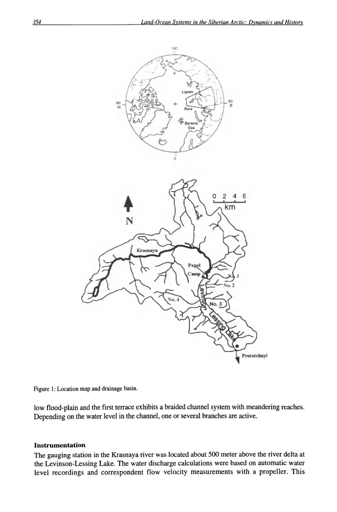
Figure 1: Location map and drainage basin.
Land-Ocean Systems in the Siberian Arctic: Dynamics and History
I
o
90
E
6
I
low flood-plain and the first terrace exhibits a braided channel system with meandering reaches.
Depending on the water level in the channel, one or several branches are active.
Instrumentation
The gauging station in the Krasnaya river was located about 500 meter above the river delta at
the Levinson-Lessing Lake. The water discharge calculations were based on automatic water
level recordings and correspondent flow velocity measurements with a propeller. This
+
N
Figure 1: Location map and drainage basin.
Land-Ocean Systems in the Siberian Arctic: Dynamics and History
I
o
90
E
6
I
low flood-plain and the first terrace exhibits a braided channel system with meandering reaches.
Depending on the water level in the channel, one or several branches are active.
Instrumentation
The gauging station in the Krasnaya river was located about 500 meter above the river delta at
the Levinson-Lessing Lake. The water discharge calculations were based on automatic water
level recordings and correspondent flow velocity measurements with a propeller. This