

However, oil may settle in thick pools as the irregularity of
the shoreline increases and in areas with lower wave
energy. Light oils are rapidly removed by wave action.
Heavy oils are the most persistent and commonly require
extensive pressure washing to remove.
Spill interaction: vegetated shorelines
The generally quiescent nature of marsh and mangrove
shorelines enables spilled oil to settle onto the silt-clay
surfaces of the habitat. Oil may mix into soft sediment
and/or penetrate by the infilling of animal burrows
(Howard and Little, 1987). The loss of plants potentially
causes shoreline erosion and habitat loss. Oil incorporated
into these sediments, in the absence of wave action and
reduced microbial degradation, has been shown to persist
at least 35 years. The large-scale destruction of mangroves
in the Ogoni area of Nigeria (UNEP, 2011) potentially
shows the greatest loss of mangroves due to oil spillage
to date.
Coastal geomorphology and oil spill sensitivity
Early studies identified the influence of shoreline characteristics in predicting spill persistence, difficulty of
cleanup, and, because biota also vary by shoreline type,
its potential biological effects. To enable use by nonscientists, a vulnerability index classification, later changed to
environmental sensitivity index (ESI), was developed,
which categorizes and ranks shoreline geomorphology
according to sensitivity to spilled oil (Gundlach and
Hayes, 1978). With the inclusion of ecological and social
data (NOAA, 2002, 2012), ESI maps are now an international standard to provide summary information to governments and industry involved with spill response
planning.
Geoscience advise during response operations
During major oil spills, geoscientists play a key advisory
role in directing SCAT (Shoreline Cleanup Assessment
Technique) teams. These teams provide site-specific data
concerning the quantity of oil present (surface and subsurface), biological and social characteristics, and cleanup
options and restrictions (Owens and Sergy, 2003). Importantly, SCAT teams include the representatives of the
spiller, government, and landowner. First deployed during
the Exxon Valdez spill, SCAT information enabled the
long-term tracking of remaining oil on the shoreline
(Taylor and Reimer, 2008; Wiens, 2013). SCAT presently
has widespread international support by governments and
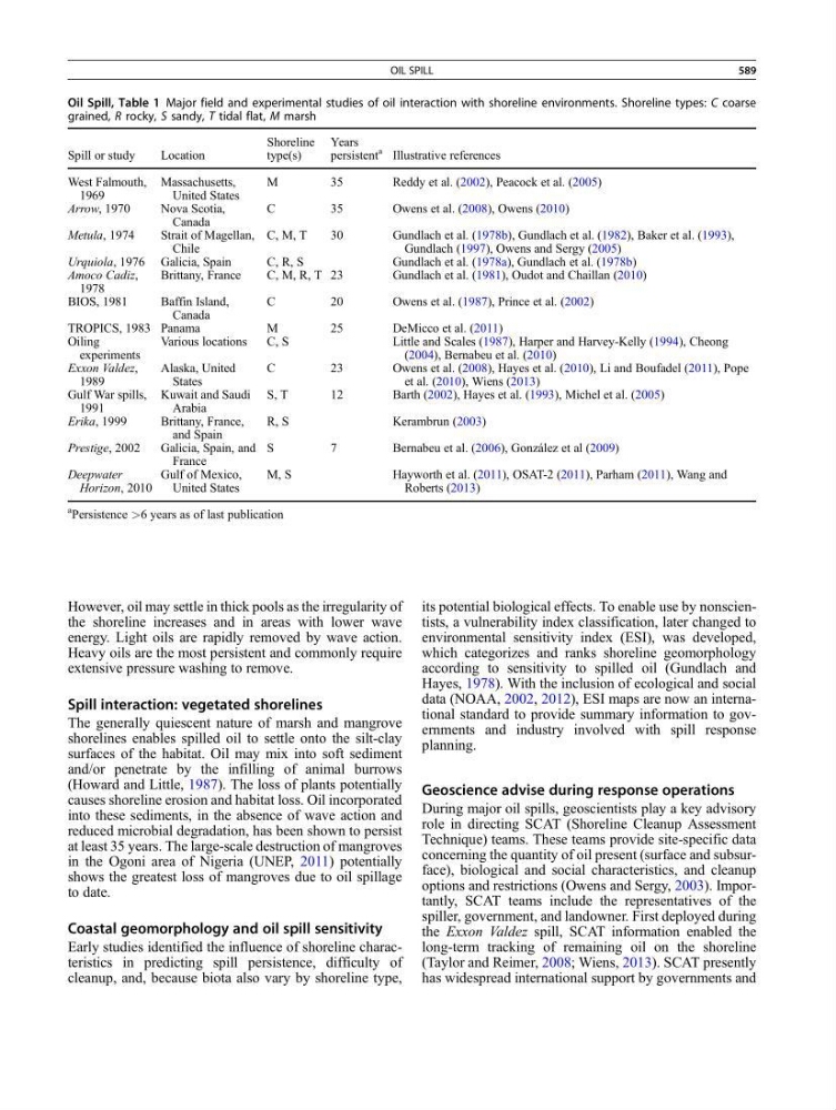
Oil Spill, Table 1 Major field and experimental studies of oil interaction with shoreline environments. Shoreline types: C coarse
grained, R rocky, S sandy, T tidal flat, M marsh
Spill or study
Location
Shoreline
type(s)
Years
persistent
a Illustrative references
West Falmouth,
1969
Massachusetts,
United States
M
35
Reddy et al. (2002), Peacock et al. (2005)
Arrow, 1970
Nova Scotia,
Canada
C
35
Owens et al. (2008), Owens (2010)
Metula, 1974
Strait of Magellan,
Chile
C, M, T
30
Gundlach et al. (1978b), Gundlach et al. (1982), Baker et al. (1993),
Gundlach (1997), Owens and Sergy (2005)
Urquiola, 1976 Galicia, Spain
C, R, S
Gundlach et al. (1978a), Gundlach et al. (1978b)
Amoco Cadiz,
1978
Brittany, France
C, M, R, T 23
Gundlach et al. (1981), Oudot and Chaillan (2010)
BIOS, 1981
Baffin Island,
Canada
C
20
Owens et al. (1987), Prince et al. (2002)
TROPICS, 1983 Panama
M
25
DeMicco et al. (2011)
Oiling
experiments
Various locations
C, S
Little and Scales (1987), Harper and Harvey-Kelly (1994), Cheong
(2004), Bernabeu et al. (2010)
Exxon Valdez,
1989
Alaska, United
States
C
23
Owens et al. (2008), Hayes et al. (2010), Li and Boufadel (2011), Pope
et al. (2010), Wiens (2013)
Gulf War spills,
1991
Kuwait and Saudi
Arabia
S, T
12
Barth (2002), Hayes et al. (1993), Michel et al. (2005)
Erika, 1999
Brittany, France,
and Spain
R, S
Kerambrun (2003)
Prestige, 2002
Galicia, Spain, and
France
S
7
Bernabeu et al. (2006), González et al (2009)
Deepwater
Horizon, 2010
Gulf of Mexico,
United States
M, S
Hayworth et al. (2011), OSAT-2 (2011), Parham (2011), Wang and
Roberts (2013)
a Persistence >6 years as of last publication
OIL SPILL
589