

CHAPTER 13 • Coastal Zone Management: Issues and Initiatives in Small South Asian Nations 237
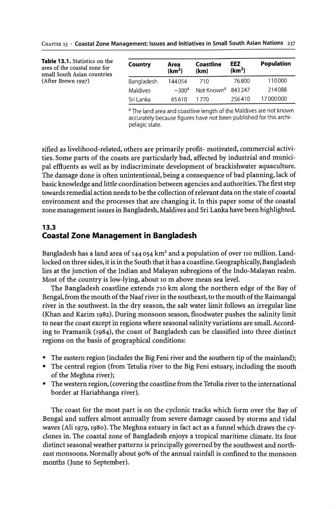
Table 13.1. Statistics on the
area of the coastal zone for
small South Asian countries
(After Brown 1997)
Country
Area
Coastline
EEZ
Population
(km 2 )
(km)
(km 2 )
Bangladesh
144054
710
76800
110000
Maldives
-300 a Not Known a 843247
214088
Sri Lanka
65610
1770
256410
17000000
a The land area and coastline length of the Maldives are not known
accurately because figures have not been published for this archipelagic state.
sified as livelihood-related, others are primarily profit- motivated, commercial activities. Some parts of the coasts are particularly bad, affected by industrial and municipal effi¥ents as well as by indiscriminate development of brackishwater aquaculture.
The damage done is often unintentional, being a consequence of bad planning, lack of
basic knowledge and little coordination between agencies and authorities. The first step
towards remedial action needs to be the collection of relevant data on the state of coastal
environment and the processes that are changing it. In this paper some of the coastal
zone management issues in Bangladesh, Maldives and Sri Lanka have been highlighted.
13.3
Coastal Zone Management in Bangladesh
Bangladesh has a land area of 144 054 km' and a population of over 110 million. Landlocked on three sides, it is in the South that it has a coastline. Geographically, Bangladesh
lies at the junction of the Indian and Malayan subregions of the IndO-Malayan realm.
Most of the country is low-lying, about 10 m above mean sea level.
The Bangladesh coastline extends 710 km along the northern edge of the Bay of
Bengal, from the mouth of the Naaf river in the southeast, to the mouth of the Raimangal
river in the southwest'. In the dry season, the salt water limit follows an irregular line
(Khan and Karim 1982). During monsoon season, floodwater pushes the salinity limit
to near the coast except in regions where seasonal salinity variations are small. According to Pramanik (1984), .the coast of Bangladesh can be classified into three distinct
regions on the basis of geographical conditions:
• The eastern region (includes the Big Feni river and the southern tip of the mainland);
• The central region (from Tetulia river to the Big Feni estuary, including the mouth
of the Meghna river);
• The western region, (covering the coastline from the Tetulia river to the international
border at Hariabhanga river).
The coast for the most part is on the cyclonic tracks which form over the Bay of
Bengal and suffers almost annually from severe damage caused by storms and tidal
waves (Ali 1979,1980). The Meghna estuaryin fact act as a funnel which draws the cyclones in. The coastal zone of Bangladesh enjoys a tropical maritime climate. Its four
distinct seasonal weather patterns is principally governed by the southwest and northeast monsoons. Normally about 90% of the annual rainfall is confined to the monsoon
months (June to September).
Table 13.1. Statistics on the
area of the coastal zone for
small South Asian countries
(After Brown 1997)
Country
Area
Coastline
EEZ
Population
(km 2 )
(km)
(km 2 )
Bangladesh
144054
710
76800
110000
Maldives
-300 a Not Known a 843247
214088
Sri Lanka
65610
1770
256410
17000000
a The land area and coastline length of the Maldives are not known
accurately because figures have not been published for this archipelagic state.
sified as livelihood-related, others are primarily profit- motivated, commercial activities. Some parts of the coasts are particularly bad, affected by industrial and municipal effi¥ents as well as by indiscriminate development of brackishwater aquaculture.
The damage done is often unintentional, being a consequence of bad planning, lack of
basic knowledge and little coordination between agencies and authorities. The first step
towards remedial action needs to be the collection of relevant data on the state of coastal
environment and the processes that are changing it. In this paper some of the coastal
zone management issues in Bangladesh, Maldives and Sri Lanka have been highlighted.
13.3
Coastal Zone Management in Bangladesh
Bangladesh has a land area of 144 054 km' and a population of over 110 million. Landlocked on three sides, it is in the South that it has a coastline. Geographically, Bangladesh
lies at the junction of the Indian and Malayan subregions of the IndO-Malayan realm.
Most of the country is low-lying, about 10 m above mean sea level.
The Bangladesh coastline extends 710 km along the northern edge of the Bay of
Bengal, from the mouth of the Naaf river in the southeast, to the mouth of the Raimangal
river in the southwest'. In the dry season, the salt water limit follows an irregular line
(Khan and Karim 1982). During monsoon season, floodwater pushes the salinity limit
to near the coast except in regions where seasonal salinity variations are small. According to Pramanik (1984), .the coast of Bangladesh can be classified into three distinct
regions on the basis of geographical conditions:
• The eastern region (includes the Big Feni river and the southern tip of the mainland);
• The central region (from Tetulia river to the Big Feni estuary, including the mouth
of the Meghna river);
• The western region, (covering the coastline from the Tetulia river to the international
border at Hariabhanga river).
The coast for the most part is on the cyclonic tracks which form over the Bay of
Bengal and suffers almost annually from severe damage caused by storms and tidal
waves (Ali 1979,1980). The Meghna estuaryin fact act as a funnel which draws the cyclones in. The coastal zone of Bangladesh enjoys a tropical maritime climate. Its four
distinct seasonal weather patterns is principally governed by the southwest and northeast monsoons. Normally about 90% of the annual rainfall is confined to the monsoon
months (June to September).