

changes are a likely cause, but these changes are not consistent across Humboldt
Bay (Moffat and Nichol 2011).
A record of topographic maps and aerial photographs has allowed documentation of the evolution of dune features in the more recent dune episode
(Fig. 10.3). In 1939, the site consisted of a developing foredune–blowout–parabolic dune complex, with more developed features located upwind of discrete
parabolic dunes, and more fragmented topography upwind of undifferentiated,
transverse dune-dominated, transgressive dunefields. A decade later the less
developed features had been eroded, and much of the southern portion of the site
was unvegetated. The northern, more mature features supported vegetation now
classified as the Leymus mollis herbaceous alliance on the foredune, and the Abronia latifolia—Ambrosia chamissonis herbaceous alliance on trailing ridges of
parabolic dunes (Johnson 1963; Pickart and Barbour 2007; Sawyer et al. 2009).
After 1970, Ammophila arenaria dispersed to the site from the south (Buell et al.
1995), resulting in the gradual development of an Ammophila-built foredune in the
southern part of the site, and beginning the process of Ammophila invasion into
the native vegetation to the north. By the 1980s, the Lanphere Dunes (consisting of
the northern portion of the site) had been acquired and protected by The Nature
Conservancy (later transferred to the US Fish and Wildlife Service), and this
invasion was recognized as the primary threat to the preserve. Ammophila invasion
results in steepening of the foredune, homogenization of vegetation, and suppression of the formation of new blowouts (Fig. 10.4). Although Carpobrotus
chilensis had been present at the Lanphere Dunes at low densities since at least the
1960s (Johnson 1963), by the early 1990s the species was hybridizing with its
invasive congener Carpobrotus edulis. These hybrids were observed to be
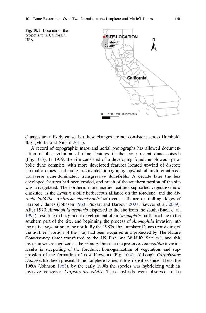
Fig. 10.1 Location of the
project site in California,
USA
10 Dune Restoration Over Two Decades at the Lanphere and Ma-le’l Dunes
161
Bay (Moffat and Nichol 2011).
A record of topographic maps and aerial photographs has allowed documentation of the evolution of dune features in the more recent dune episode
(Fig. 10.3). In 1939, the site consisted of a developing foredune–blowout–parabolic dune complex, with more developed features located upwind of discrete
parabolic dunes, and more fragmented topography upwind of undifferentiated,
transverse dune-dominated, transgressive dunefields. A decade later the less
developed features had been eroded, and much of the southern portion of the site
was unvegetated. The northern, more mature features supported vegetation now
classified as the Leymus mollis herbaceous alliance on the foredune, and the Abronia latifolia—Ambrosia chamissonis herbaceous alliance on trailing ridges of
parabolic dunes (Johnson 1963; Pickart and Barbour 2007; Sawyer et al. 2009).
After 1970, Ammophila arenaria dispersed to the site from the south (Buell et al.
1995), resulting in the gradual development of an Ammophila-built foredune in the
southern part of the site, and beginning the process of Ammophila invasion into
the native vegetation to the north. By the 1980s, the Lanphere Dunes (consisting of
the northern portion of the site) had been acquired and protected by The Nature
Conservancy (later transferred to the US Fish and Wildlife Service), and this
invasion was recognized as the primary threat to the preserve. Ammophila invasion
results in steepening of the foredune, homogenization of vegetation, and suppression of the formation of new blowouts (Fig. 10.4). Although Carpobrotus
chilensis had been present at the Lanphere Dunes at low densities since at least the
1960s (Johnson 1963), by the early 1990s the species was hybridizing with its
invasive congener Carpobrotus edulis. These hybrids were observed to be
Fig. 10.1 Location of the
project site in California,
USA
10 Dune Restoration Over Two Decades at the Lanphere and Ma-le’l Dunes
161