

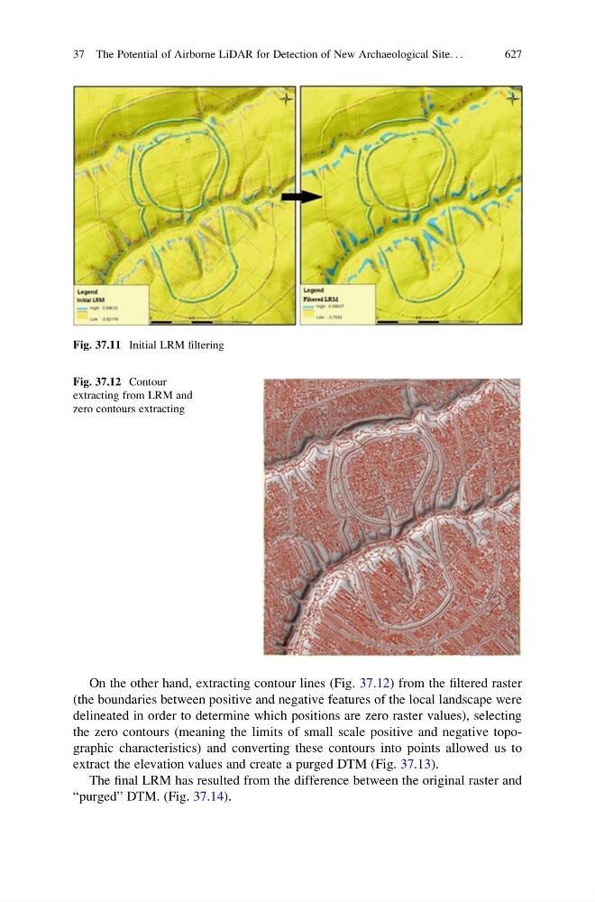
On the other hand, extracting contour lines (Fig. 37.12) from the filtered raster
(the boundaries between positive and negative features of the local landscape were
delineated in order to determine which positions are zero raster values), selecting
the zero contours (meaning the limits of small scale positive and negative topographic characteristics) and converting these contours into points allowed us to
extract the elevation values and create a purged DTM (Fig. 37.13).
The final LRM has resulted from the difference between the original raster and
“purged” DTM. (Fig. 37.14).
Fig. 37.11 Initial LRM filtering
Fig. 37.12 Contour
extracting from LRM and
zero contours extracting
37 The Potential of Airborne LiDAR for Detection of New Archaeological Site. . .
627