

20 Future Perspectives
453
may be readily available in the future. These data sets, together with the concomitant detailed hydrologic data create a foundation for evaluating the hydrologic
value of these new measurements and for developing hydrologic models that can
maximize the information content in the remote sensing data. Successfully demonstrating the value of these new instruments in hydrology is one of the necessary
steps that leads to a satellite borne sensor.
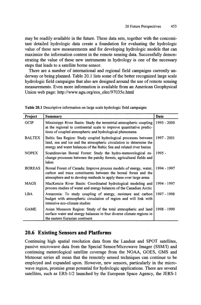
There are a number of international and regional field campaigns currently underway or being planned. Table 20.1 lists some of the better recognized large scale
hydrologic field campaigns that also are designed around the use of remote sensing
measurements. Even more information is available from an American Geophysical
Union web page: http://www.agu.org/eos3Iec/97035e.html
Table 20.1 Descriptive infonnation on large scale hydrologic field campaigns
Pro.iect
Summary
Date
GCIP
Mississippi River Basin: Study the terrestrial-atmospheric coupling 1995 - 2000
at the regional to continental scale to improve quantitative predictions of coupled atmospheric and hydrological phenomena
BALTEX Baltic Sea Region: Study coupled hydrological processes between 1997 - 2001
land, sea and ice and the atmospheric circulation to detennine the
energy and water balances of the Baltic Sea and related river basins
NOPEX
Scandinavian Boreal Forest: Study the hydro-meteorological ex- 1995change processes between the patchy forests, agricultural fields and
lakes
BOREAS Boreal Forest of Canada: Improve process models of energy, water, 1994 - 1997
carbon and trace constituents between the boreal forest and the
atmosphere and to develop methods to apply these over large areas
MAGS
MacKenzie River Basin: Coordinated hydrological modeling and 1994 - 1997
process studies of water and energy balances of the Canadian Arctic
LBA
Amazonia: To study coupling of energy, moisture and carbon 1997 - 1998
budget with atmospheric circulation of region and will link with
intensive eco-c1imate studies
GAME
Asian Monsoon Region: Study of the total atmospheric and land 1998 - 1999
surface water and energy balances in four diverse climate regions in
the eastern Eurasian continent
20.6 Existing Sensors and Platforms
Continuing high spatial resolution data from the Landsat and SPOT satellites,
passive microwave data from the Special SensorlMicrowave Imager (SSM/I) and
continuing meterological satellite coverage from the NOAA, GOES, GMS and
Meteosat series all mean that the remotely sensed techniques can continue to be
employed and expanded upon. However, new sensors, particularly in the microwave region, promise great potential for hydrologic applications. There are several
satellites, such as ERS-l/2 launched by the European Space Agency, the JERS-1
453
may be readily available in the future. These data sets, together with the concomitant detailed hydrologic data create a foundation for evaluating the hydrologic
value of these new measurements and for developing hydrologic models that can
maximize the information content in the remote sensing data. Successfully demonstrating the value of these new instruments in hydrology is one of the necessary
steps that leads to a satellite borne sensor.
There are a number of international and regional field campaigns currently underway or being planned. Table 20.1 lists some of the better recognized large scale
hydrologic field campaigns that also are designed around the use of remote sensing
measurements. Even more information is available from an American Geophysical
Union web page: http://www.agu.org/eos3Iec/97035e.html
Table 20.1 Descriptive infonnation on large scale hydrologic field campaigns
Pro.iect
Summary
Date
GCIP
Mississippi River Basin: Study the terrestrial-atmospheric coupling 1995 - 2000
at the regional to continental scale to improve quantitative predictions of coupled atmospheric and hydrological phenomena
BALTEX Baltic Sea Region: Study coupled hydrological processes between 1997 - 2001
land, sea and ice and the atmospheric circulation to detennine the
energy and water balances of the Baltic Sea and related river basins
NOPEX
Scandinavian Boreal Forest: Study the hydro-meteorological ex- 1995change processes between the patchy forests, agricultural fields and
lakes
BOREAS Boreal Forest of Canada: Improve process models of energy, water, 1994 - 1997
carbon and trace constituents between the boreal forest and the
atmosphere and to develop methods to apply these over large areas
MAGS
MacKenzie River Basin: Coordinated hydrological modeling and 1994 - 1997
process studies of water and energy balances of the Canadian Arctic
LBA
Amazonia: To study coupling of energy, moisture and carbon 1997 - 1998
budget with atmospheric circulation of region and will link with
intensive eco-c1imate studies
GAME
Asian Monsoon Region: Study of the total atmospheric and land 1998 - 1999
surface water and energy balances in four diverse climate regions in
the eastern Eurasian continent
20.6 Existing Sensors and Platforms
Continuing high spatial resolution data from the Landsat and SPOT satellites,
passive microwave data from the Special SensorlMicrowave Imager (SSM/I) and
continuing meterological satellite coverage from the NOAA, GOES, GMS and
Meteosat series all mean that the remotely sensed techniques can continue to be
employed and expanded upon. However, new sensors, particularly in the microwave region, promise great potential for hydrologic applications. There are several
satellites, such as ERS-l/2 launched by the European Space Agency, the JERS-1