

350
Colour Plates of Chaps. 12-15
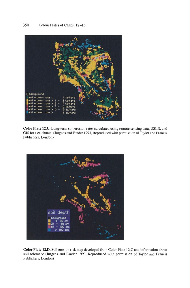
Color Plate 12.C. Long-term soil erosion rates calculated using remote sensing data, USLE, and
GIS for a catchment (JUrgens and Fander 1993, Reproduced with permission of Taylor and Francis
Publishers, London)
Color Plate 12.D. Soil erosion risk map developed from Color Plate 12.C and information about
soil tolerance (JUrgens and Fander 1993, Reproduced with permission of Taylor and Francis
Publishers, London)
Colour Plates of Chaps. 12-15
Color Plate 12.C. Long-term soil erosion rates calculated using remote sensing data, USLE, and
GIS for a catchment (JUrgens and Fander 1993, Reproduced with permission of Taylor and Francis
Publishers, London)
Color Plate 12.D. Soil erosion risk map developed from Color Plate 12.C and information about
soil tolerance (JUrgens and Fander 1993, Reproduced with permission of Taylor and Francis
Publishers, London)