

Colour Plates of Chaps. 12-15
349
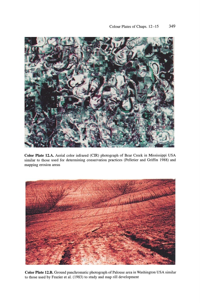
Color Plate 12.A. Aerial color infrared (CIR) photograph of Bear Creek in Mississippi USA
similar to those used for determining conservation practices (Pelletier and Griffin 1988) and
mapping erosion areas
Color Plate 12.B. Ground panchromatic photograph of Palouse area in Washington USA similar
to those used by Frazier et a\. (1983) to study and map rill development
349
Color Plate 12.A. Aerial color infrared (CIR) photograph of Bear Creek in Mississippi USA
similar to those used for determining conservation practices (Pelletier and Griffin 1988) and
mapping erosion areas
Color Plate 12.B. Ground panchromatic photograph of Palouse area in Washington USA similar
to those used by Frazier et a\. (1983) to study and map rill development