

8
G.A. Schultz and E.T. Engman
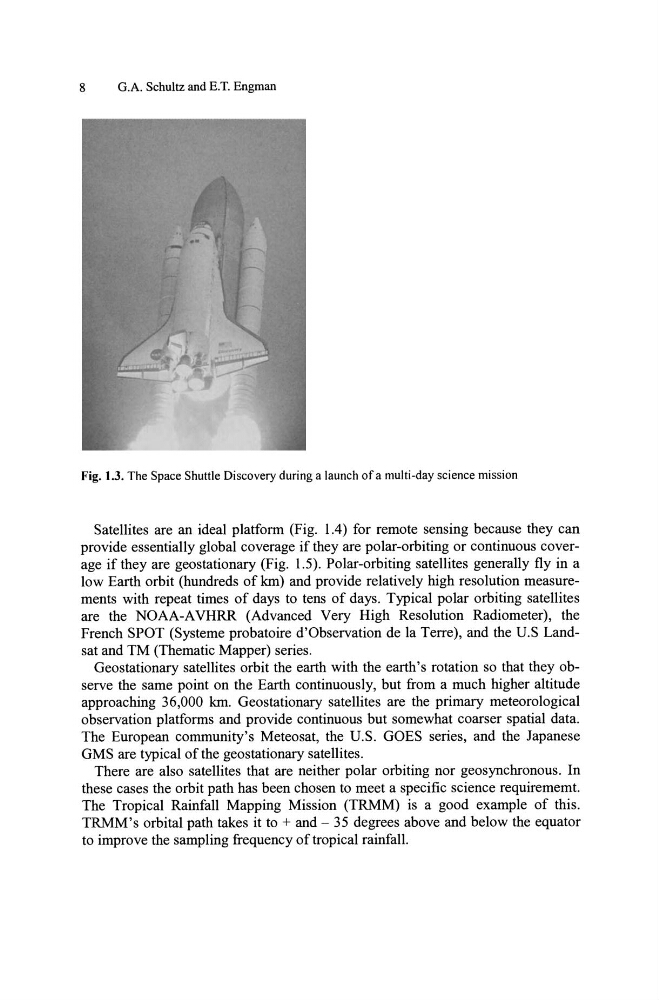
Fig. 1.3. The Space Shuttle Discovery during a launch of a multi-day science mission
Satellites are an ideal platform (Fig. 1.4) for remote sensing because they can
provide essentially global coverage if they are polar-orbiting or continuous coverage if they are geostationary (Fig. 1.5). Polar-orbiting satellites generally fly in a
low Earth orbit (hundreds of km) and provide relatively high resolution measurements with repeat times of days to tens of days. Typical polar orbiting satellites
are the NOAA-A VHRR (Advanced Very High Resolution Radiometer), the
French SPOT (Systeme probatoire d'Observation de la Terre), and the u.S Landsat and TM (Thematic Mapper) series.
Geostationary satellites orbit the earth with the earth's rotation so that they observe the same point on the Earth continuously, but from a much higher altitude
approaching 36,000 km. Geostationary satellites are the primary meteorological
observation platforms and provide continuous but somewhat coarser spatial data.
The European community'S Meteosat, the U.S. GOES series, and the Japanese
GMS are typical of the geostationary satellites.
There are also satellites that are neither polar orbiting nor geosynchronous. In
these cases the orbit path has been chosen to meet a specific science requirememt.
The Tropical Rainfall Mapping Mission (TRMM) is a good example of this.
TRMM's orbital path takes it to + and - 35 degrees above and below the equator
to improve the sampling frequency of tropical rainfall.
G.A. Schultz and E.T. Engman
Fig. 1.3. The Space Shuttle Discovery during a launch of a multi-day science mission
Satellites are an ideal platform (Fig. 1.4) for remote sensing because they can
provide essentially global coverage if they are polar-orbiting or continuous coverage if they are geostationary (Fig. 1.5). Polar-orbiting satellites generally fly in a
low Earth orbit (hundreds of km) and provide relatively high resolution measurements with repeat times of days to tens of days. Typical polar orbiting satellites
are the NOAA-A VHRR (Advanced Very High Resolution Radiometer), the
French SPOT (Systeme probatoire d'Observation de la Terre), and the u.S Landsat and TM (Thematic Mapper) series.
Geostationary satellites orbit the earth with the earth's rotation so that they observe the same point on the Earth continuously, but from a much higher altitude
approaching 36,000 km. Geostationary satellites are the primary meteorological
observation platforms and provide continuous but somewhat coarser spatial data.
The European community'S Meteosat, the U.S. GOES series, and the Japanese
GMS are typical of the geostationary satellites.
There are also satellites that are neither polar orbiting nor geosynchronous. In
these cases the orbit path has been chosen to meet a specific science requirememt.
The Tropical Rainfall Mapping Mission (TRMM) is a good example of this.
TRMM's orbital path takes it to + and - 35 degrees above and below the equator
to improve the sampling frequency of tropical rainfall.