

seasonal freezing of bottom sediments, a one-dimensional thermodynamic model is
proposed. This model represents contacting layers of air, snow, ice, water, and soil
as a single system connected by thermal interactions, fundamentally distinguishing
it from analogs developed for the individual media. The paper is organized as
follows. We first describe the utilized model and basic data sets used for simulations
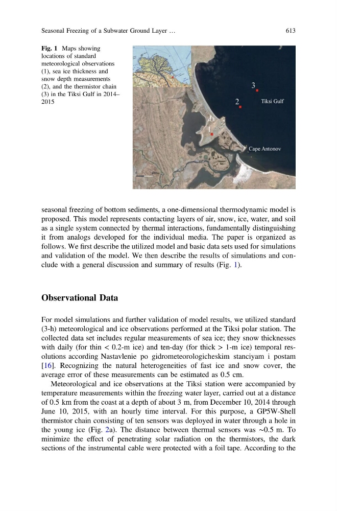
and validation of the model. We then describe the results of simulations and conclude with a general discussion and summary of results (Fig. 1).
Observational Data
For model simulations and further validation of model results, we utilized standard
(3-h) meteorological and ice observations performed at the Tiksi polar station. The
collected data set includes regular measurements of sea ice; they snow thicknesses
with daily (for thin < 0.2-m ice) and ten-day (for thick > 1-m ice) temporal resolutions according Nastavlenie po gidrometeorologicheskim stanciyam i postam
[16]. Recognizing the natural heterogeneities of fast ice and snow cover, the
average error of these measurements can be estimated as 0.5 cm.
Meteorological and ice observations at the Tiksi station were accompanied by
temperature measurements within the freezing water layer, carried out at a distance
of 0.5 km from the coast at a depth of about 3 m, from December 10, 2014 through
June 10, 2015, with an hourly time interval. For this purpose, a GP5W-Shell
thermistor chain consisting of ten sensors was deployed in water through a hole in
the young ice (Fig. 2a). The distance between thermal sensors was ∼0.5 m. To
minimize the effect of penetrating solar radiation on the thermistors, the dark
sections of the instrumental cable were protected with a foil tape. According to the
Fig. 1 Maps showing
locations of standard
meteorological observations
(1), sea ice thickness and
snow depth measurements
(2), and the thermistor chain
(3) in the Tiksi Gulf in 2014–
2015
Seasonal Freezing of a Subwater Ground Layer …
613