

552
A.D. Del Genio
Instrument
Frequencies / wavelengths
Resolution
Swath
Precipitation Radar
14 GHz
250 m (range)
220 km
(PR)
4 km (footprint)
TRMM Microwave
10, 19, 21, 37, 85.5 GHz
45,21,17,11,
760 km
Imager (TMI)
(dual polarized except 21)
5 km
Visible/Infrared Sensor
0.63,1.61,3.75,10.8,
2.2 km
720 km
(VIRS)
12.0 J1m
Table 20.1: Summary of characteristics of the three remote sensing instruments making up
the primary rain package for TRMM.
instrument mass. The TRMM spacecraft is being built at the NASA Goddard Space Flight
Center.
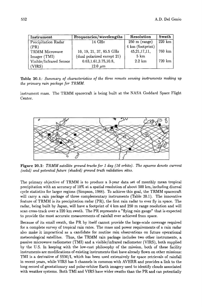
Figure 20.2 : TRMM satellite ground tracks for 1 day (16 orbits). The squares denote current
(solid) and potential future (shaded) ground truth validation sites.
The primary objective of TRMM is to produce a 3-year data set of monthly mean tropical
precipitation with an accuracy of 10% at a spatial resolution of about 500 km, including diurnal
cycle statistics for larger regions (Simpson, 1988). To achieve this goal, the TRMM spacecraft
will carry a rain package of three complementary instruments (Table 20.1). The innovative
feature of TRMM is its precipitation radar (PR), the first rain radar to ever fly in space. The
radar, being built by Japan, will have a footprint of 4 km and 250 m range resolution and will
scan cross-track over a 220 km swath. The PR represents a "flying rain gauge" that is expected
to provide the most accurate measurements of rainfall ever achieved from space.
Because of its small swath, the PR by itself cannot provide the large-scale coverage required
for a complete survey of tropical rain rates. The mass and power requirements of a rain radar
also make it impractical as a candidate for routine rain observations on future operational
meteorological satellites. Thus, the TRMM rain package includes two other instruments, a
passive microwave radiometer (TMI) and a visible/infrared radiometer (VIRS), both supplied
by the U.S. In keeping with the low-cost philosophy of the mission, both of these facility
instruments are modifications of existing instruments that have already flown on other missions:
TMI is a derivative of SSM/I, which has been used extensively for space retrievals of rainfall
in recent years, while VIRS has 5 channels in common with AVHRR and provides a link to the
long record of geostationary and polar-orbiter Earth imagery used to identify clouds associated
with weather systems. Both TMI and VIRS have wider swaths than the PR and can potentially