

1.2.1 The Livelihood Patterns in these Villages
In the nineteenth century, people from northern Bengal, Bihar and Orissa used to
migrate to these islands twice a year to cultivate paddy on the land they owned there
which had been distributed to them by the British (Danda 2007). However, with
time, they started settling down on these islands. The Farukshiyar’s Firman of 1757
granted the British the Rights to collect taxes from Bengal, Bihar and Orissa. They
cleared the forests in these areas and converted them into farm lands. At that time
none gave any thought to the negative impacts of deforestation. As a result in the
next three hundred years, the two horned Rhinos, the Indian Cheetah, the Golden
Eagle and the pink headed duck, species indigenous to the Sunderbans disappeared
(Mukherjee et al. 1984, cited by Danda 2007).
1.2.2 Practice of Agriculture
Despite the geophysical adversity and the fact that 50 % of the population is landless,
the primary source of livelihood in the Sunderbans is agriculture and their principal
crop is paddy (Danda 2007). In West Bengal, farmers with land holding below 2.5
acres are called marginal farmers and the ones with land holding between 2.5 and 5
acres are called small farmers. The Sunderbans farmers are even below these levels.
Thus, a farmer in the Sunderbans with a holding between 1 and 2 Bighas (0.13 and
0.27 ha) is considered a marginal farmer while one with land holding of 2–5 bighas
(0.67 ha) is considered as a small farmer (Danda 2007). Now, let us take a look at the
average land holding and the land to man ratio in the sample villages (Table 2).
Back in the nineteenth century itself, the expanding agricultural population soon
found that practicing agriculture was in contradiction with the topography of the
islands (Danda 2007). It was only possible to have a single harvest due to scarcity of
freshwater in pre- and post-monsoon seasons. The British built embankments along
the edges of the islands to stop the saline water from inundating the farm lands. They
also built some irrigational canals; sluice gates were constructed in between these
canals to maintain the water flow during the tidal bores (locally called Kotal) that
come every fortnight. A few decades back more irrigation facilities were provided by
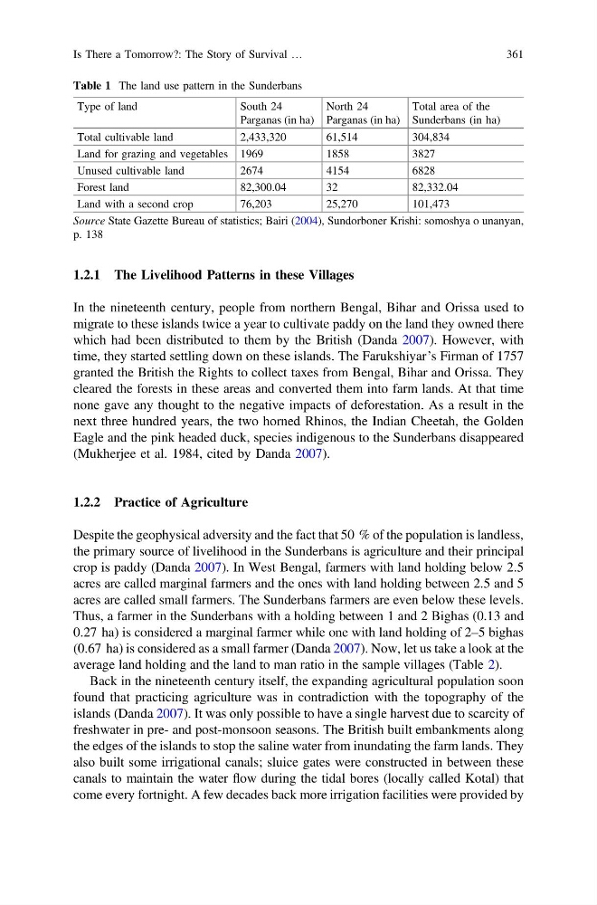
Table 1 The land use pattern in the Sunderbans
Type of land
South 24
Parganas (in ha)
North 24
Parganas (in ha)
Total area of the
Sunderbans (in ha)
Total cultivable land
2,433,320
61,514
304,834
Land for grazing and vegetables 1969
1858
3827
Unused cultivable land
2674
4154
6828
Forest land
82,300.04
32
82,332.04
Land with a second crop
76,203
25,270
101,473
Source State Gazette Bureau of statistics; Bairi (2004), Sundorboner Krishi: somoshya o unanyan,
p. 138
Is There a Tomorrow?: The Story of Survival …
361
In the nineteenth century, people from northern Bengal, Bihar and Orissa used to
migrate to these islands twice a year to cultivate paddy on the land they owned there
which had been distributed to them by the British (Danda 2007). However, with
time, they started settling down on these islands. The Farukshiyar’s Firman of 1757
granted the British the Rights to collect taxes from Bengal, Bihar and Orissa. They
cleared the forests in these areas and converted them into farm lands. At that time
none gave any thought to the negative impacts of deforestation. As a result in the
next three hundred years, the two horned Rhinos, the Indian Cheetah, the Golden
Eagle and the pink headed duck, species indigenous to the Sunderbans disappeared
(Mukherjee et al. 1984, cited by Danda 2007).
1.2.2 Practice of Agriculture
Despite the geophysical adversity and the fact that 50 % of the population is landless,
the primary source of livelihood in the Sunderbans is agriculture and their principal
crop is paddy (Danda 2007). In West Bengal, farmers with land holding below 2.5
acres are called marginal farmers and the ones with land holding between 2.5 and 5
acres are called small farmers. The Sunderbans farmers are even below these levels.
Thus, a farmer in the Sunderbans with a holding between 1 and 2 Bighas (0.13 and
0.27 ha) is considered a marginal farmer while one with land holding of 2–5 bighas
(0.67 ha) is considered as a small farmer (Danda 2007). Now, let us take a look at the
average land holding and the land to man ratio in the sample villages (Table 2).
Back in the nineteenth century itself, the expanding agricultural population soon
found that practicing agriculture was in contradiction with the topography of the
islands (Danda 2007). It was only possible to have a single harvest due to scarcity of
freshwater in pre- and post-monsoon seasons. The British built embankments along
the edges of the islands to stop the saline water from inundating the farm lands. They
also built some irrigational canals; sluice gates were constructed in between these
canals to maintain the water flow during the tidal bores (locally called Kotal) that
come every fortnight. A few decades back more irrigation facilities were provided by
Table 1 The land use pattern in the Sunderbans
Type of land
South 24
Parganas (in ha)
North 24
Parganas (in ha)
Total area of the
Sunderbans (in ha)
Total cultivable land
2,433,320
61,514
304,834
Land for grazing and vegetables 1969
1858
3827
Unused cultivable land
2674
4154
6828
Forest land
82,300.04
32
82,332.04
Land with a second crop
76,203
25,270
101,473
Source State Gazette Bureau of statistics; Bairi (2004), Sundorboner Krishi: somoshya o unanyan,
p. 138
Is There a Tomorrow?: The Story of Survival …
361