

4.6 Geography Markup Language (GML) (ISO 19136)
177
interpolate _ Z
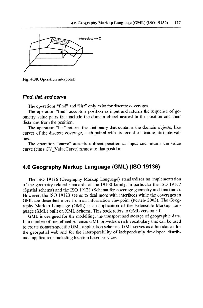
Fig. 4.80. Operation interpolate
Find, list, and curve
The operations "find" and "list" only exist for discrete coverages.
The operation "find" accepts a position as input and returns the sequence of geometry value pairs that include the domain object nearest to the position and their
distances trom the position.
The operation "list" returns the dictionary that contains the domain objects, like
curves of the discrete coverage, each paired with its record of feature attribute values.
The operation "curve" accepts a direct position as input and returns the value
curve (class CV _ ValueCurve) nearest to that position.
4.6 Geography Markup Language (GML) (ISO 19136)
The ISO 19136 (Geography Markup Language) standardises an implementation
of the geometry-related standards of the 19100 family, in particular the ISO 19107
(Spatial schema) and the ISO 19123 (Schema for coverage geometry and functions).
However, the ISO 19123 seems to deal more with interfaces while the coverages in
GML are described more from an information viewpoint (Porteie 2003). The Geography Markup Language (GML) is an application of the Extensible Markup Language (XML) built on XML Schema. This book refers to GML version 3.0.
GML is designed for the modelling, the transport and storage of geographie data.
In a number of predefined schemas GML provides a rich vocabulary that can be used
to create domain-specific GML application schemas. GML serves as a foundation for
the geospatial web and for the interoperability of independently developed distributed applieations including loeation based services.
177
interpolate _ Z
Fig. 4.80. Operation interpolate
Find, list, and curve
The operations "find" and "list" only exist for discrete coverages.
The operation "find" accepts a position as input and returns the sequence of geometry value pairs that include the domain object nearest to the position and their
distances trom the position.
The operation "list" returns the dictionary that contains the domain objects, like
curves of the discrete coverage, each paired with its record of feature attribute values.
The operation "curve" accepts a direct position as input and returns the value
curve (class CV _ ValueCurve) nearest to that position.
4.6 Geography Markup Language (GML) (ISO 19136)
The ISO 19136 (Geography Markup Language) standardises an implementation
of the geometry-related standards of the 19100 family, in particular the ISO 19107
(Spatial schema) and the ISO 19123 (Schema for coverage geometry and functions).
However, the ISO 19123 seems to deal more with interfaces while the coverages in
GML are described more from an information viewpoint (Porteie 2003). The Geography Markup Language (GML) is an application of the Extensible Markup Language (XML) built on XML Schema. This book refers to GML version 3.0.
GML is designed for the modelling, the transport and storage of geographie data.
In a number of predefined schemas GML provides a rich vocabulary that can be used
to create domain-specific GML application schemas. GML serves as a foundation for
the geospatial web and for the interoperability of independently developed distributed applieations including loeation based services.