

Monitoring of Pollution by Means of Remote Sensing
529
a) spatially by measuring water quality in the whole estuarine system at
each date, and
b) temporally by obtaining site specific data that are comparable over the
whole relevant time period. Satellite remote sensing has already been
shown to be useful as a complementary source of information in this field
(van Zuidam, 1993; Walker, 1996; Davies et al., 1997).
Methods and Results
ESTUARY DYNAMICS
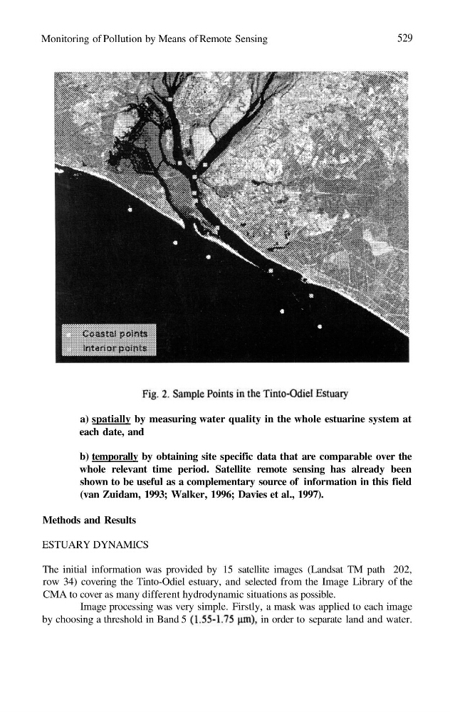
The initial information was provided by 15 satellite images (Landsat TM path 202,
row 34) covering the Tinto-Odiel estuary, and selected from the Image Library of the
CMA to cover as many different hydrodynamic situations as possible.
Image processing was very simple. Firstly, a mask was applied to each image
by choosing a threshold in Band 5
in order to separate land and water.
529
a) spatially by measuring water quality in the whole estuarine system at
each date, and
b) temporally by obtaining site specific data that are comparable over the
whole relevant time period. Satellite remote sensing has already been
shown to be useful as a complementary source of information in this field
(van Zuidam, 1993; Walker, 1996; Davies et al., 1997).
Methods and Results
ESTUARY DYNAMICS
The initial information was provided by 15 satellite images (Landsat TM path 202,
row 34) covering the Tinto-Odiel estuary, and selected from the Image Library of the
CMA to cover as many different hydrodynamic situations as possible.
Image processing was very simple. Firstly, a mask was applied to each image
by choosing a threshold in Band 5
in order to separate land and water.