

Monitoring Coastal Morphological Changes
523
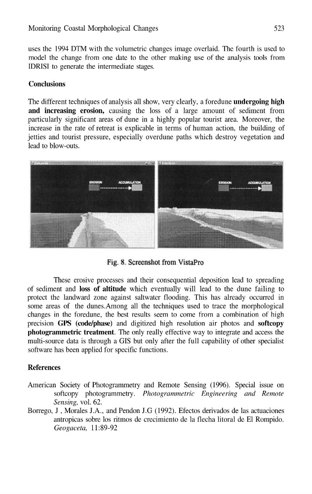
uses the 1994 DTM with the volumetric changes image overlaid. The fourth is used to
model the change from one date to the other making use of the analysis tools from
IDRISI to generate the intermediate stages.
Conclusions
The different techniques of analysis all show, very clearly, a foredune undergoing high
and increasing erosion, causing the loss of a large amount of sediment from
particularly significant areas of dune in a highly popular tourist area. Moreover, the
increase in the rate of retreat is explicable in terms of human action, the building of
jetties and tourist pressure, especially overdune paths which destroy vegetation and
lead to blow-outs.
These erosive processes and their consequential deposition lead to spreading
of sediment and loss of altitude which eventually will lead to the dune failing to
protect the landward zone against saltwater flooding. This has already occurred in
some areas of the dunes.Among all the techniques used to trace the morphological
changes in the foredune, the best results seem to come from a combination of high
precision GPS (code/phase) and digitized high resolution air photos and softcopy
photogrammetric treatment. The only really effective way to integrate and access the
multi-source data is through a GIS but only after the full capability of other specialist
software has been applied for specific functions.
References
American Society of Photogrammetry and Remote Sensing (1996). Special issue on
softcopy photogrammetry. Photogrammetric Engineering and Remote
Sensing, vol. 62.
Borrego, J , Morales J.A., and Pendon J.G (1992). Efectos derivados de las actuaciones
antropicas sobre los ritmos de crecimiento de la flecha litoral de El Rompido.
Geogaceta, 11:89-92
523
uses the 1994 DTM with the volumetric changes image overlaid. The fourth is used to
model the change from one date to the other making use of the analysis tools from
IDRISI to generate the intermediate stages.
Conclusions
The different techniques of analysis all show, very clearly, a foredune undergoing high
and increasing erosion, causing the loss of a large amount of sediment from
particularly significant areas of dune in a highly popular tourist area. Moreover, the
increase in the rate of retreat is explicable in terms of human action, the building of
jetties and tourist pressure, especially overdune paths which destroy vegetation and
lead to blow-outs.
These erosive processes and their consequential deposition lead to spreading
of sediment and loss of altitude which eventually will lead to the dune failing to
protect the landward zone against saltwater flooding. This has already occurred in
some areas of the dunes.Among all the techniques used to trace the morphological
changes in the foredune, the best results seem to come from a combination of high
precision GPS (code/phase) and digitized high resolution air photos and softcopy
photogrammetric treatment. The only really effective way to integrate and access the
multi-source data is through a GIS but only after the full capability of other specialist
software has been applied for specific functions.
References
American Society of Photogrammetry and Remote Sensing (1996). Special issue on
softcopy photogrammetry. Photogrammetric Engineering and Remote
Sensing, vol. 62.
Borrego, J , Morales J.A., and Pendon J.G (1992). Efectos derivados de las actuaciones
antropicas sobre los ritmos de crecimiento de la flecha litoral de El Rompido.
Geogaceta, 11:89-92