

Monitoring Coastal Morphological Changes
521
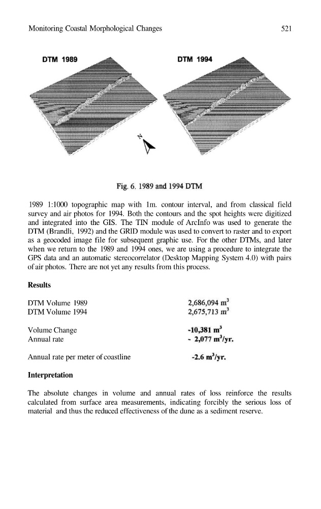
1989 1:1000 topographic map with 1m. contour interval, and from classical field
survey and air photos for 1994. Both the contours and the spot heights were digitized
and integrated into the GIS. The TIN module of ArcInfo was used to generate the
DTM (Brandli, 1992) and the GRID module was used to convert to raster and to export
as a geocoded image file for subsequent graphic use. For the other DTMs, and later
when we return to the 1989 and 1994 ones, we are using a procedure to integrate the
GPS data and an automatic stereocorrelator (Desktop Mapping System 4.0) with pairs
of air photos. There are not yet any results from this process.
Results
DTM Volume 1989
DTM Volume 1994
Volume Change
Annual rate
Annual rate per meter of coastline
Interpretation
The absolute changes in volume and annual rates of loss reinforce the results
calculated from surface area measurements, indicating forcibly the serious loss of
material and thus the reduced effectiveness of the dune as a sediment reserve.
521
1989 1:1000 topographic map with 1m. contour interval, and from classical field
survey and air photos for 1994. Both the contours and the spot heights were digitized
and integrated into the GIS. The TIN module of ArcInfo was used to generate the
DTM (Brandli, 1992) and the GRID module was used to convert to raster and to export
as a geocoded image file for subsequent graphic use. For the other DTMs, and later
when we return to the 1989 and 1994 ones, we are using a procedure to integrate the
GPS data and an automatic stereocorrelator (Desktop Mapping System 4.0) with pairs
of air photos. There are not yet any results from this process.
Results
DTM Volume 1989
DTM Volume 1994
Volume Change
Annual rate
Annual rate per meter of coastline
Interpretation
The absolute changes in volume and annual rates of loss reinforce the results
calculated from surface area measurements, indicating forcibly the serious loss of
material and thus the reduced effectiveness of the dune as a sediment reserve.