

Using Remotely Sensed Imagery for CZM
481
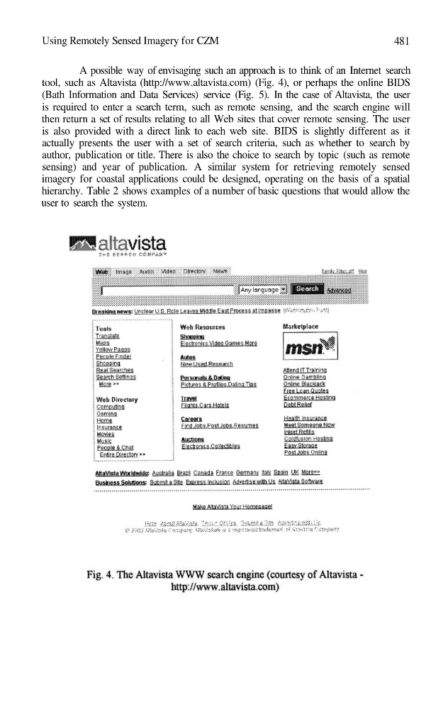
A possible way of envisaging such an approach is to think of an Internet search
tool, such as Altavista (http://www.altavista.com) (Fig. 4), or perhaps the online BIDS
(Bath Information and Data Services) service (Fig. 5). In the case of Altavista, the user
is required to enter a search term, such as remote sensing, and the search engine will
then return a set of results relating to all Web sites that cover remote sensing. The user
is also provided with a direct link to each web site. BIDS is slightly different as it
actually presents the user with a set of search criteria, such as whether to search by
author, publication or title. There is also the choice to search by topic (such as remote
sensing) and year of publication. A similar system for retrieving remotely sensed
imagery for coastal applications could be designed, operating on the basis of a spatial
hierarchy. Table 2 shows examples of a number of basic questions that would allow the
user to search the system.
481
A possible way of envisaging such an approach is to think of an Internet search
tool, such as Altavista (http://www.altavista.com) (Fig. 4), or perhaps the online BIDS
(Bath Information and Data Services) service (Fig. 5). In the case of Altavista, the user
is required to enter a search term, such as remote sensing, and the search engine will
then return a set of results relating to all Web sites that cover remote sensing. The user
is also provided with a direct link to each web site. BIDS is slightly different as it
actually presents the user with a set of search criteria, such as whether to search by
author, publication or title. There is also the choice to search by topic (such as remote
sensing) and year of publication. A similar system for retrieving remotely sensed
imagery for coastal applications could be designed, operating on the basis of a spatial
hierarchy. Table 2 shows examples of a number of basic questions that would allow the
user to search the system.