

480
S.D. King and D.R. Green
Using this method of enquiry, it is possible to build up a table of the issues that
a coastal manager faces, the information required to solve these issues, and the
objectives needed to extract the information from remotely sensed imagery. These can
then be matched up to the sensor to provide the imagery necessary to help solve the
issue. Table 1 below is an example of a matrix, developed for the Solway Firth. What
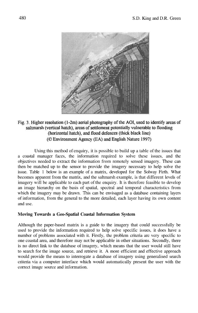
becomes apparent from the matrix, and the saltmarsh example, is that different levels of
imagery will be applicable to each part of the enquiry. It is therefore feasible to develop
an image hierarchy on the basis of spatial, spectral and temporal characteristics from
which the imagery may be drawn. This can be envisaged as a database containing layers
of information, from the general to the more detailed, each layer having its own content
and use.
Moving Towards a Geo-Spatial Coastal Information System
Although the paper-based matrix is a guide to the imagery that could successfully be
used to provide the information required to help solve specific issues, it does have a
number of problems associated with it. Firstly, the problem criteria are very specific to
one coastal area, and therefore may not be applicable in other situations. Secondly, there
is no direct link to the database of imagery, which means that the user would still have
to search for the image source, and retrieve it. A more efficient and effective approach
would provide the means to interrogate a database of imagery using generalised search
criteria via a computer interface which would automatically present the user with the
correct image source and information.
S.D. King and D.R. Green
Using this method of enquiry, it is possible to build up a table of the issues that
a coastal manager faces, the information required to solve these issues, and the
objectives needed to extract the information from remotely sensed imagery. These can
then be matched up to the sensor to provide the imagery necessary to help solve the
issue. Table 1 below is an example of a matrix, developed for the Solway Firth. What
becomes apparent from the matrix, and the saltmarsh example, is that different levels of
imagery will be applicable to each part of the enquiry. It is therefore feasible to develop
an image hierarchy on the basis of spatial, spectral and temporal characteristics from
which the imagery may be drawn. This can be envisaged as a database containing layers
of information, from the general to the more detailed, each layer having its own content
and use.
Moving Towards a Geo-Spatial Coastal Information System
Although the paper-based matrix is a guide to the imagery that could successfully be
used to provide the information required to help solve specific issues, it does have a
number of problems associated with it. Firstly, the problem criteria are very specific to
one coastal area, and therefore may not be applicable in other situations. Secondly, there
is no direct link to the database of imagery, which means that the user would still have
to search for the image source, and retrieve it. A more efficient and effective approach
would provide the means to interrogate a database of imagery using generalised search
criteria via a computer interface which would automatically present the user with the
correct image source and information.