

Constructing a Database of Coastal Change Using GIS
409
When a phenomenon sampled at points is continuous (such as elevation) then
interpolation techniques can be used. There are a wide range of ‘local’ interpolation
techniques available (those that produce new values on the basis of close-by sampled
points), however, not all of them are appropriate. In the case of elevation surveyed at
points the value obtained from measurement and reduction to plane coordinates is
likely to be within a few centimetres if the local benchmarks are correct and the
instrument is being used correctly. If there is a good coverage of sample points an
exact fit approach to interpolation should be preferred, i.e. triangulation or spline fit
approaches, as the points are known with a high degree of accuracy. Where the points
are collected at terrain-sensitive positions during the survey e.g. at breaks-of-slope,
then triangulation techniques produce conservative surface models with nothing added
through extrapolation as is sometimes the case with splines. Breakline constraints can
be added to triangulation models to force the triangles to honour topographic form.
Approximate interpolation techniques should be reserved for visualisation or
circumstances in which the points are not known with any degree of certainty, or when
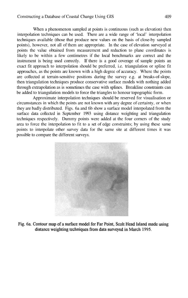
they are badly distributed. Figs. 6a and 6b show a surface model interpolated from the
surface data collected in September 1993 using distance weighting and triangulation
techniques respectively. Dummy points were added at the four corners of the study
area to force the interpolation to fit to a set of edge constraints; by using these same
points to interpolate other survey data for the same site at different times it was
possible to compare the different surveys.
409
When a phenomenon sampled at points is continuous (such as elevation) then
interpolation techniques can be used. There are a wide range of ‘local’ interpolation
techniques available (those that produce new values on the basis of close-by sampled
points), however, not all of them are appropriate. In the case of elevation surveyed at
points the value obtained from measurement and reduction to plane coordinates is
likely to be within a few centimetres if the local benchmarks are correct and the
instrument is being used correctly. If there is a good coverage of sample points an
exact fit approach to interpolation should be preferred, i.e. triangulation or spline fit
approaches, as the points are known with a high degree of accuracy. Where the points
are collected at terrain-sensitive positions during the survey e.g. at breaks-of-slope,
then triangulation techniques produce conservative surface models with nothing added
through extrapolation as is sometimes the case with splines. Breakline constraints can
be added to triangulation models to force the triangles to honour topographic form.
Approximate interpolation techniques should be reserved for visualisation or
circumstances in which the points are not known with any degree of certainty, or when
they are badly distributed. Figs. 6a and 6b show a surface model interpolated from the
surface data collected in September 1993 using distance weighting and triangulation
techniques respectively. Dummy points were added at the four corners of the study
area to force the interpolation to fit to a set of edge constraints; by using these same
points to interpolate other survey data for the same site at different times it was
possible to compare the different surveys.