

Digital Elevation Models by Laserscanning
353
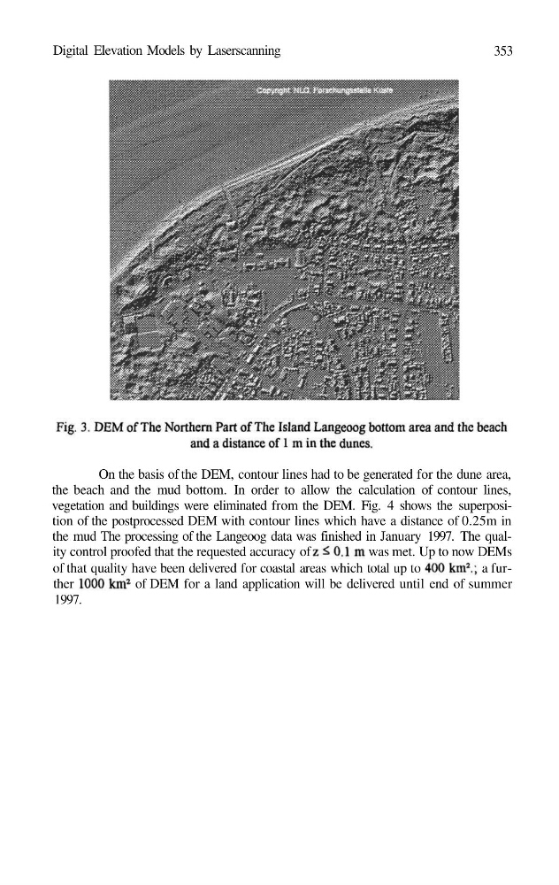
On the basis of the DEM, contour lines had to be generated for the dune area,
the beach and the mud bottom. In order to allow the calculation of contour lines,
vegetation and buildings were eliminated from the DEM. Fig. 4 shows the superposition of the postprocessed DEM with contour lines which have a distance of 0.25m in
the mud The processing of the Langeoog data was finished in January 1997. The quality control proofed that the requested accuracy of
was met. Up to now DEMs
of that quality have been delivered for coastal areas which total up to
a further
of DEM for a land application will be delivered until end of summer
1997.
353
On the basis of the DEM, contour lines had to be generated for the dune area,
the beach and the mud bottom. In order to allow the calculation of contour lines,
vegetation and buildings were eliminated from the DEM. Fig. 4 shows the superposition of the postprocessed DEM with contour lines which have a distance of 0.25m in
the mud The processing of the Langeoog data was finished in January 1997. The quality control proofed that the requested accuracy of
was met. Up to now DEMs
of that quality have been delivered for coastal areas which total up to
a further
of DEM for a land application will be delivered until end of summer
1997.