

170
H. Goodwin and R. Palerud
The Future
The future use and development of this system will depend largely on collaboration
between interested partners from both the oil industry and Russian local governments.
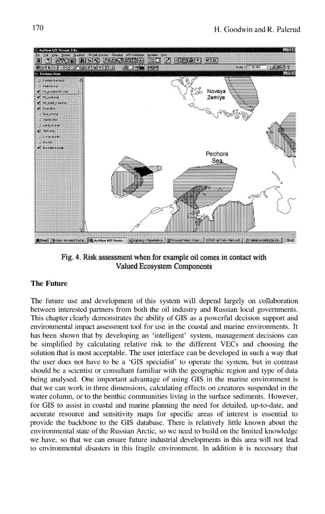
This chapter clearly demonstrates the ability of GIS as a powerful decision support and
environmental impact assessment tool for use in the coastal and marine environments. It
has been shown that by developing an ‘intelligent’ system, management decisions can
be simplified by calculating relative risk to the different VECs and choosing the
solution that is most acceptable. The user interface can be developed in such a way that
the user does not have to be a ‘GIS specialist’ to operate the system, but in contrast
should be a scientist or consultant familiar with the geographic region and type of data
being analysed. One important advantage of using GIS in the marine environment is
that we can work in three dimensions, calculating effects on creatures suspended in the
water column, or to the benthic communities living in the surface sediments. However,
for GIS to assist in coastal and marine planning the need for detailed, up-to-date, and
accurate resource and sensitivity maps for specific areas of interest is essential to
provide the backbone to the GIS database. There is relatively little known about the
environmental state of the Russian Arctic, so we need to build on the limited knowledge
we have, so that we can ensure future industrial developments in this area will not lead
to environmental disasters in this fragile environment. In addition it is necessary that
H. Goodwin and R. Palerud
The Future
The future use and development of this system will depend largely on collaboration
between interested partners from both the oil industry and Russian local governments.
This chapter clearly demonstrates the ability of GIS as a powerful decision support and
environmental impact assessment tool for use in the coastal and marine environments. It
has been shown that by developing an ‘intelligent’ system, management decisions can
be simplified by calculating relative risk to the different VECs and choosing the
solution that is most acceptable. The user interface can be developed in such a way that
the user does not have to be a ‘GIS specialist’ to operate the system, but in contrast
should be a scientist or consultant familiar with the geographic region and type of data
being analysed. One important advantage of using GIS in the marine environment is
that we can work in three dimensions, calculating effects on creatures suspended in the
water column, or to the benthic communities living in the surface sediments. However,
for GIS to assist in coastal and marine planning the need for detailed, up-to-date, and
accurate resource and sensitivity maps for specific areas of interest is essential to
provide the backbone to the GIS database. There is relatively little known about the
environmental state of the Russian Arctic, so we need to build on the limited knowledge
we have, so that we can ensure future industrial developments in this area will not lead
to environmental disasters in this fragile environment. In addition it is necessary that