

Western Indian Ocean
191
Mozambique
and South Africa
MAP7C
M0Z3mDJC|U6 has a long coastline facing
ihe Mozambique Cliannel and Madagascar. In
tlie north, heavily faulted Cretaceous to Tertiary
sediments line the coast. South of Angoche the coastline
is dominated by Quaternary to Recent sediments, largely
sands interspersed with heavy alluvial deposits, particularly
in the central region between Angoche and Bazaruto
Island where some 24 rivers meet the coast, including
the large delta areas of the Zambezi and Save Rivers.
In many areas the sands form flat plains, although high
dune systems are also common, particularly in the
southern third of the country where they often lie in front
of coastal barrier lakes and swamps. There are several
offshore island groups, including a number of small
coralline islands directly south of the border with
Tanzania, the Quirimbass Archipelago, and two short
island chains due south of Angoche - the Primeiro and
Segundo Archipelagos. Larger islands include those of the
Bazaruto Archipelago and Inhaca Island in the far south.
The continental shelf is less than 20 kilometers wide in the
north, broadening to a maximum of about 130 kilometers
in the center of the country and then narrowing again in
the south.
The South Equatorial Current which flows westwards
across the Indian Ocean meets the East African coastline
in the region of the Tanzania/Mozambique border where it
then divides, with one branch forming the constant southflowing Mozambique Current. Part is deflected eastwards
south of Inhambane and forms a gyre, circulating in the
Mozambique Channel, and the remainder flows on to join
the Agulhas Current off South Africa. Aside from these
main current patterns there are a number of counter
currents associated with the larger embayments along this
coastline, and these create quite strong north-flowing
coastal currents in places.
Fringing reefs are numerous along the northern
coastline away from river mouths and around the offshore
islands, with mangroves and patch reefs on the western
shores and simpler reef profiles along exposed eastern
shores. Over 50 hard coral genera and over 300 reef
fish species have been recorded from the Quirimbass
Archipelago. Diversity and coral cover appear to be lower
in the Primeiro and Segundo Archipelagos, which may
be related to cold water upwellings, but this region has
extensive seagrass and important dugong and turtle
populations. There are also reported to be large seabird
nesting colonies on some of these islands.
The central section of the coastline has been called
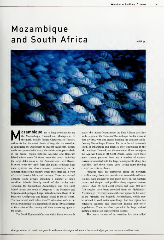
A large school of convict surgeon Acanthurus triostegus, which are important algal grazers on some shallow reefs.
191
Mozambique
and South Africa
MAP7C
M0Z3mDJC|U6 has a long coastline facing
ihe Mozambique Cliannel and Madagascar. In
tlie north, heavily faulted Cretaceous to Tertiary
sediments line the coast. South of Angoche the coastline
is dominated by Quaternary to Recent sediments, largely
sands interspersed with heavy alluvial deposits, particularly
in the central region between Angoche and Bazaruto
Island where some 24 rivers meet the coast, including
the large delta areas of the Zambezi and Save Rivers.
In many areas the sands form flat plains, although high
dune systems are also common, particularly in the
southern third of the country where they often lie in front
of coastal barrier lakes and swamps. There are several
offshore island groups, including a number of small
coralline islands directly south of the border with
Tanzania, the Quirimbass Archipelago, and two short
island chains due south of Angoche - the Primeiro and
Segundo Archipelagos. Larger islands include those of the
Bazaruto Archipelago and Inhaca Island in the far south.
The continental shelf is less than 20 kilometers wide in the
north, broadening to a maximum of about 130 kilometers
in the center of the country and then narrowing again in
the south.
The South Equatorial Current which flows westwards
across the Indian Ocean meets the East African coastline
in the region of the Tanzania/Mozambique border where it
then divides, with one branch forming the constant southflowing Mozambique Current. Part is deflected eastwards
south of Inhambane and forms a gyre, circulating in the
Mozambique Channel, and the remainder flows on to join
the Agulhas Current off South Africa. Aside from these
main current patterns there are a number of counter
currents associated with the larger embayments along this
coastline, and these create quite strong north-flowing
coastal currents in places.
Fringing reefs are numerous along the northern
coastline away from river mouths and around the offshore
islands, with mangroves and patch reefs on the western
shores and simpler reef profiles along exposed eastern
shores. Over 50 hard coral genera and over 300 reef
fish species have been recorded from the Quirimbass
Archipelago. Diversity and coral cover appear to be lower
in the Primeiro and Segundo Archipelagos, which may
be related to cold water upwellings, but this region has
extensive seagrass and important dugong and turtle
populations. There are also reported to be large seabird
nesting colonies on some of these islands.
The central section of the coastline has been called
A large school of convict surgeon Acanthurus triostegus, which are important algal grazers on some shallow reefs.