

60
4.1 Pavöntsomo (Young Corn Mound)/Koyöngkopěö
i
sti
(Turkey’s Head)
This mound, extending about 800 m from northeast to southwest, rises about 25 m
above the general surface of the mesa. Stephen and Fewkes describe it as “located
on the old wagon trail to Fort Defiance, a little beyond the head of Keam’s Canyon.”
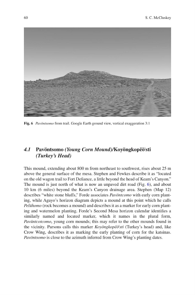
The mound is just north of what is now an unpaved dirt road (Fig. 6), and about
10 km (6 miles) beyond the Keam’s Canyon drainage area. Stephen (Map 12)
describes “white stone bluffs,” Forde associates Pavöntcomo with early corn planting, while Agayo’s horizon diagram depicts a mound at this point which he calls
Pelühomo (rock becomes a mound) and describes it as a marker for early corn planting and watermelon planting. Forde’s Second Mesa horizon calendar identifies a
similarly named and located marker, which it names in the plural form,
Pavüntcotcomo, young corn mounds; this may refer to the other mounds found in
the vicinity. Parsons calls this marker Koyöngkopěö
i
sti (Turkey’s head) and, like
Crow Wing, describes it as marking the early planting of corn for the katsinas.
Pavöntsomo is close to the azimuth inferred from Crow Wing’s planting dates.
Fig. 6 Pavöntsomo from trail. Google Earth ground view, vertical exaggeration 3:1
S. C. McCluskey
4.1 Pavöntsomo (Young Corn Mound)/Koyöngkopěö
i
sti
(Turkey’s Head)
This mound, extending about 800 m from northeast to southwest, rises about 25 m
above the general surface of the mesa. Stephen and Fewkes describe it as “located
on the old wagon trail to Fort Defiance, a little beyond the head of Keam’s Canyon.”
The mound is just north of what is now an unpaved dirt road (Fig. 6), and about
10 km (6 miles) beyond the Keam’s Canyon drainage area. Stephen (Map 12)
describes “white stone bluffs,” Forde associates Pavöntcomo with early corn planting, while Agayo’s horizon diagram depicts a mound at this point which he calls
Pelühomo (rock becomes a mound) and describes it as a marker for early corn planting and watermelon planting. Forde’s Second Mesa horizon calendar identifies a
similarly named and located marker, which it names in the plural form,
Pavüntcotcomo, young corn mounds; this may refer to the other mounds found in
the vicinity. Parsons calls this marker Koyöngkopěö
i
sti (Turkey’s head) and, like
Crow Wing, describes it as marking the early planting of corn for the katsinas.
Pavöntsomo is close to the azimuth inferred from Crow Wing’s planting dates.
Fig. 6 Pavöntsomo from trail. Google Earth ground view, vertical exaggeration 3:1
S. C. McCluskey