

67
However, installing a greenbelt did not prove to be a success. Even if you were
to look at Tokyo today from a satellite, not even a one remnant of the belt can be
found. What is visible is a large-scale maze of urban fabric continuously sprawling
all the way towards the mountain ranges surrounding Tokyo.
Other Japanese cities including Osaka and Nagoya also tried to install a
greenbelt but they all failed because of the lack of efficient policies on the land
use. Instead of a greenbelt, cities in Japan changed their policy to draw a boundary line surrounding each local municipality and not around the entire metropolitan area. The Urban Planning Act, revised in 1968, was designed to achieve
such a separation. According to this Act, each local municipality was required
to designate land as either one of two types: Urbanization Promotion Area
(UPA), or Urbanization Control Area (UCA). UPA is the area for urban developments; UCA is, in principle, primarily for agricultural uses without conventional urban development.
But once again, distinct separation failed to be achieved. What actually happened was an incomplete separation even though a line to designate UPA and UCA
was drawn around the city. Why did such a failure occur? We would argue that this
situation occurred because of the layer model which the Japanese planning system
had been maintaining, and not because of an inadequate application of the City
Planning Act of 1968.
In short, two major layers characterize the model. First is, of course, the “Urban”
layer, based on the City Planning Act of 1968, but this is not the only layer. The
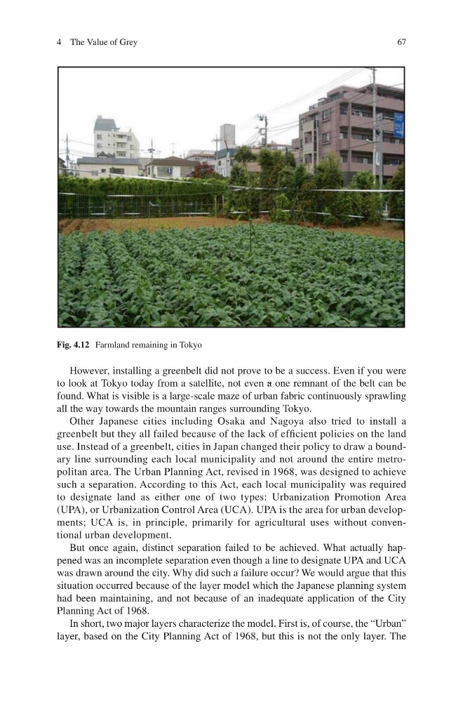
Fig. 4.12 Farmland remaining in Tokyo
4 The Value of Grey
However, installing a greenbelt did not prove to be a success. Even if you were
to look at Tokyo today from a satellite, not even a one remnant of the belt can be
found. What is visible is a large-scale maze of urban fabric continuously sprawling
all the way towards the mountain ranges surrounding Tokyo.
Other Japanese cities including Osaka and Nagoya also tried to install a
greenbelt but they all failed because of the lack of efficient policies on the land
use. Instead of a greenbelt, cities in Japan changed their policy to draw a boundary line surrounding each local municipality and not around the entire metropolitan area. The Urban Planning Act, revised in 1968, was designed to achieve
such a separation. According to this Act, each local municipality was required
to designate land as either one of two types: Urbanization Promotion Area
(UPA), or Urbanization Control Area (UCA). UPA is the area for urban developments; UCA is, in principle, primarily for agricultural uses without conventional urban development.
But once again, distinct separation failed to be achieved. What actually happened was an incomplete separation even though a line to designate UPA and UCA
was drawn around the city. Why did such a failure occur? We would argue that this
situation occurred because of the layer model which the Japanese planning system
had been maintaining, and not because of an inadequate application of the City
Planning Act of 1968.
In short, two major layers characterize the model. First is, of course, the “Urban”
layer, based on the City Planning Act of 1968, but this is not the only layer. The
Fig. 4.12 Farmland remaining in Tokyo
4 The Value of Grey