

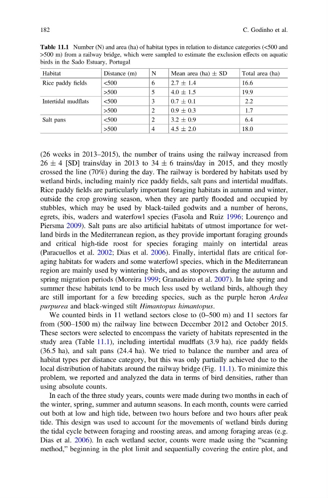
Table 11.1 Number (N) and area (ha) of habitat types in relation to distance categories (<500 and
>500 m) from a railway bridge, which were sampled to estimate the exclusion effects on aquatic
birds in the Sado Estuary, Portugal
Habitat
Distance (m)
N
Mean area (ha) ± SD
Total area (ha)
Rice paddy fields
<500
6
2.7 ± 1.4
16.6
>500
5
4.0 ± 1.5
19.9
Intertidal mudflats
<500
3
0.7 ± 0.1
2.2
>500
2
0.9 ± 0.3
1.7
Salt pans
<500
2
3.2 ± 0.9
6.4
>500
4
4.5 ± 2.0
18.0
(26 weeks in 2013–2015), the number of trains using the railway increased from
26 ± 4 [SD] trains/day in 2013 to 34 ± 6 trains/day in 2015, and they mostly
crossed the line (70%) during the day. The railway is bordered by habitats used by
wetland birds, including mainly rice paddy fields, salt pans and intertidal mudflats.
Rice paddy fields are particularly important foraging habitats in autumn and winter,
outside the crop growing season, when they are partly flooded and occupied by
stubbles, which may be used by black-tailed godwits and a number of herons,
egrets, ibis, waders and waterfowl species (Fasola and Ruiz 1996; Lourenço and
Piersma 2009). Salt pans are also artificial habitats of utmost importance for wetland birds in the Mediterranean region, as they provide important foraging grounds
and critical high-tide roost for species foraging mainly on intertidal areas
(Paracuellos et al. 2002; Dias et al. 2006). Finally, intertidal flats are critical foraging habitats for waders and some waterfowl species, which in the Mediterranean
region are mainly used by wintering birds, and as stopovers during the autumn and
spring migration periods (Moreira 1999; Granadeiro et al. 2007). In late spring and
summer these habitats tend to be much less used by wetland birds, although they
are still important for a few breeding species, such as the purple heron Ardea
purpurea and black-winged stilt Himantopus himantopus.
We counted birds in 11 wetland sectors close to (0–500 m) and 11 sectors far
from (500–1500 m) the railway line between December 2012 and October 2015.
These sectors were selected to encompass the variety of habitats represented in the
study area (Table 11.1), including intertidal mudflats (3.9 ha), rice paddy fields
(36.5 ha), and salt pans (24.4 ha). We tried to balance the number and area of
habitat types per distance category, but this was only partially achieved due to the
local distribution of habitats around the railway bridge (Fig. 11.1). To minimize this
problem, we reported and analyzed the data in terms of bird densities, rather than
using absolute counts.
In each of the three study years, counts were made during two months in each of
the winter, spring, summer and autumn seasons. In each month, counts were carried
out both at low and high tide, between two hours before and two hours after peak
tide. This design was used to account for the movements of wetland birds during
the tidal cycle between foraging and roosting areas, and among foraging areas (e.g.
Dias et al. 2006). In each wetland sector, counts were made using the “scanning
method,” beginning in the plot limit and sequentially covering the entire plot, and
182
C. Godinho et al.
>500 m) from a railway bridge, which were sampled to estimate the exclusion effects on aquatic
birds in the Sado Estuary, Portugal
Habitat
Distance (m)
N
Mean area (ha) ± SD
Total area (ha)
Rice paddy fields
<500
6
2.7 ± 1.4
16.6
>500
5
4.0 ± 1.5
19.9
Intertidal mudflats
<500
3
0.7 ± 0.1
2.2
>500
2
0.9 ± 0.3
1.7
Salt pans
<500
2
3.2 ± 0.9
6.4
>500
4
4.5 ± 2.0
18.0
(26 weeks in 2013–2015), the number of trains using the railway increased from
26 ± 4 [SD] trains/day in 2013 to 34 ± 6 trains/day in 2015, and they mostly
crossed the line (70%) during the day. The railway is bordered by habitats used by
wetland birds, including mainly rice paddy fields, salt pans and intertidal mudflats.
Rice paddy fields are particularly important foraging habitats in autumn and winter,
outside the crop growing season, when they are partly flooded and occupied by
stubbles, which may be used by black-tailed godwits and a number of herons,
egrets, ibis, waders and waterfowl species (Fasola and Ruiz 1996; Lourenço and
Piersma 2009). Salt pans are also artificial habitats of utmost importance for wetland birds in the Mediterranean region, as they provide important foraging grounds
and critical high-tide roost for species foraging mainly on intertidal areas
(Paracuellos et al. 2002; Dias et al. 2006). Finally, intertidal flats are critical foraging habitats for waders and some waterfowl species, which in the Mediterranean
region are mainly used by wintering birds, and as stopovers during the autumn and
spring migration periods (Moreira 1999; Granadeiro et al. 2007). In late spring and
summer these habitats tend to be much less used by wetland birds, although they
are still important for a few breeding species, such as the purple heron Ardea
purpurea and black-winged stilt Himantopus himantopus.
We counted birds in 11 wetland sectors close to (0–500 m) and 11 sectors far
from (500–1500 m) the railway line between December 2012 and October 2015.
These sectors were selected to encompass the variety of habitats represented in the
study area (Table 11.1), including intertidal mudflats (3.9 ha), rice paddy fields
(36.5 ha), and salt pans (24.4 ha). We tried to balance the number and area of
habitat types per distance category, but this was only partially achieved due to the
local distribution of habitats around the railway bridge (Fig. 11.1). To minimize this
problem, we reported and analyzed the data in terms of bird densities, rather than
using absolute counts.
In each of the three study years, counts were made during two months in each of
the winter, spring, summer and autumn seasons. In each month, counts were carried
out both at low and high tide, between two hours before and two hours after peak
tide. This design was used to account for the movements of wetland birds during
the tidal cycle between foraging and roosting areas, and among foraging areas (e.g.
Dias et al. 2006). In each wetland sector, counts were made using the “scanning
method,” beginning in the plot limit and sequentially covering the entire plot, and
182
C. Godinho et al.