

68
A. M. A. Mohamed
Mawhub is a part of the vast area of longitudinal and inter-dunes corridors stretching
westward for 290 km till the borderline with Libya and beyond.
3.6 East: (Dune Free-Zone)
The eastern direction in Dakhla Depression is devoid of any dune fields or sand
dunes. Thanks to Abu Tartur plateau, the extensive and very mobile of sand dunes
lay far in northern Kharga depression, especially in the outskirts of Gebel El-Taref
and Gebel El-Tir hills. Dunes in northern Kharga is the continuation of Gherd Abu
Moharaq, which starts far north around Moghra depression and southeastern portion
of Qattara Depression.
3.7 South
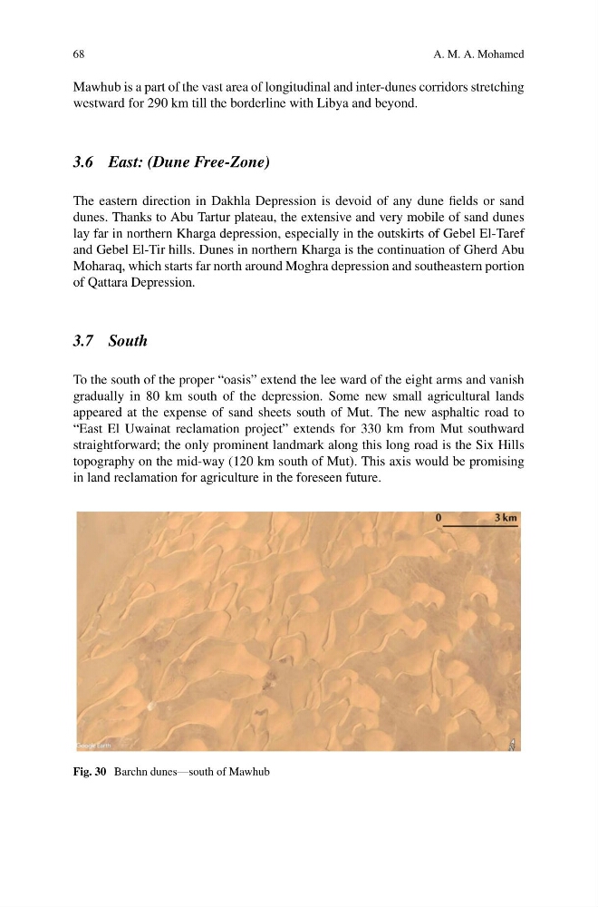
To the south of the proper “oasis” extend the lee ward of the eight arms and vanish
gradually in 80 km south of the depression. Some new small agricultural lands
appeared at the expense of sand sheets south of Mut. The new asphaltic road to
“East El Uwainat reclamation project” extends for 330 km from Mut southward
straightforward; the only prominent landmark along this long road is the Six Hills
topography on the mid-way (120 km south of Mut). This axis would be promising
in land reclamation for agriculture in the foreseen future.
Fig. 30 Barchn dunes—south of Mawhub
A. M. A. Mohamed
Mawhub is a part of the vast area of longitudinal and inter-dunes corridors stretching
westward for 290 km till the borderline with Libya and beyond.
3.6 East: (Dune Free-Zone)
The eastern direction in Dakhla Depression is devoid of any dune fields or sand
dunes. Thanks to Abu Tartur plateau, the extensive and very mobile of sand dunes
lay far in northern Kharga depression, especially in the outskirts of Gebel El-Taref
and Gebel El-Tir hills. Dunes in northern Kharga is the continuation of Gherd Abu
Moharaq, which starts far north around Moghra depression and southeastern portion
of Qattara Depression.
3.7 South
To the south of the proper “oasis” extend the lee ward of the eight arms and vanish
gradually in 80 km south of the depression. Some new small agricultural lands
appeared at the expense of sand sheets south of Mut. The new asphaltic road to
“East El Uwainat reclamation project” extends for 330 km from Mut southward
straightforward; the only prominent landmark along this long road is the Six Hills
topography on the mid-way (120 km south of Mut). This axis would be promising
in land reclamation for agriculture in the foreseen future.
Fig. 30 Barchn dunes—south of Mawhub