

60
A. M. A. Mohamed
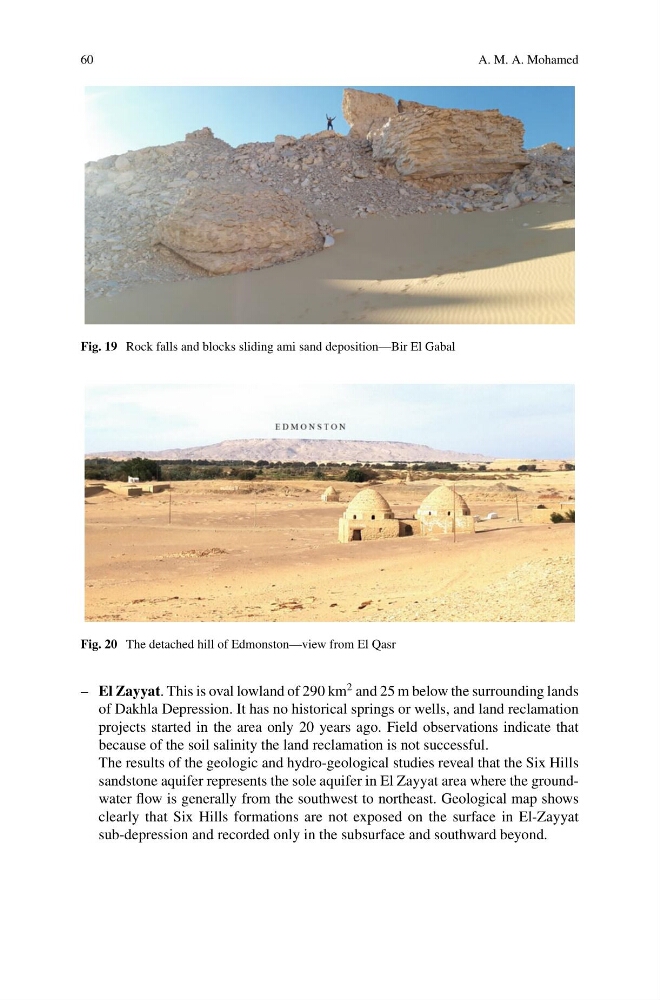
Fig. 19 Rock falls and blocks sliding ami sand deposition—Bir El Gabal
Fig. 20 The detached hill of Edmonston—view from El Qasr
– El Zayyat. This is oval lowland of 290 km
2 and 25 m below the surrounding lands
of Dakhla Depression. It has no historical springs or wells, and land reclamation
projects started in the area only 20 years ago. Field observations indicate that
because of the soil salinity the land reclamation is not successful.
The results of the geologic and hydro-geological studies reveal that the Six Hills
sandstone aquifer represents the sole aquifer in El Zayyat area where the groundwater flow is generally from the southwest to northeast. Geological map shows
clearly that Six Hills formations are not exposed on the surface in El-Zayyat
sub-depression and recorded only in the subsurface and southward beyond.
A. M. A. Mohamed
Fig. 19 Rock falls and blocks sliding ami sand deposition—Bir El Gabal
Fig. 20 The detached hill of Edmonston—view from El Qasr
– El Zayyat. This is oval lowland of 290 km
2 and 25 m below the surrounding lands
of Dakhla Depression. It has no historical springs or wells, and land reclamation
projects started in the area only 20 years ago. Field observations indicate that
because of the soil salinity the land reclamation is not successful.
The results of the geologic and hydro-geological studies reveal that the Six Hills
sandstone aquifer represents the sole aquifer in El Zayyat area where the groundwater flow is generally from the southwest to northeast. Geological map shows
clearly that Six Hills formations are not exposed on the surface in El-Zayyat
sub-depression and recorded only in the subsurface and southward beyond.