

4 Classifying the Forest Surfaces in Metropolitan Areas …
63
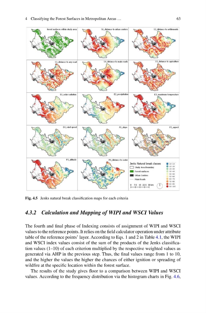
Fig. 4.5 Jenks natural break classification maps for each criteria
4.3.2 Calculation and Mapping of WIPI and WSCI Values
The fourth and final phase of Indexing consists of assignment of WIPI and WSCI
values to the reference points. It relies on the field calculator operation under attribute
table of the reference points’ layer. According to Eqs. 1 and 2 in Table 4.1, the WIPI
and WSCI index values consist of the sum of the products of the Jenks classification values (1–10) of each criterion multiplied by the respective weighted values as
generated via AHP in the previous step. Thus, the final values range from 1 to 10,
and the higher the values the higher the chances of either ignition or spreading of
wildfire at the specific location within the forest surface.
The results of the study gives floor to a comparison between WIPI and WSCI
values. According to the frequency distribution via the histogram charts in Fig. 4.6,
63
Fig. 4.5 Jenks natural break classification maps for each criteria
4.3.2 Calculation and Mapping of WIPI and WSCI Values
The fourth and final phase of Indexing consists of assignment of WIPI and WSCI
values to the reference points. It relies on the field calculator operation under attribute
table of the reference points’ layer. According to Eqs. 1 and 2 in Table 4.1, the WIPI
and WSCI index values consist of the sum of the products of the Jenks classification values (1–10) of each criterion multiplied by the respective weighted values as
generated via AHP in the previous step. Thus, the final values range from 1 to 10,
and the higher the values the higher the chances of either ignition or spreading of
wildfire at the specific location within the forest surface.
The results of the study gives floor to a comparison between WIPI and WSCI
values. According to the frequency distribution via the histogram charts in Fig. 4.6,