

128
K. Shrestha et al.
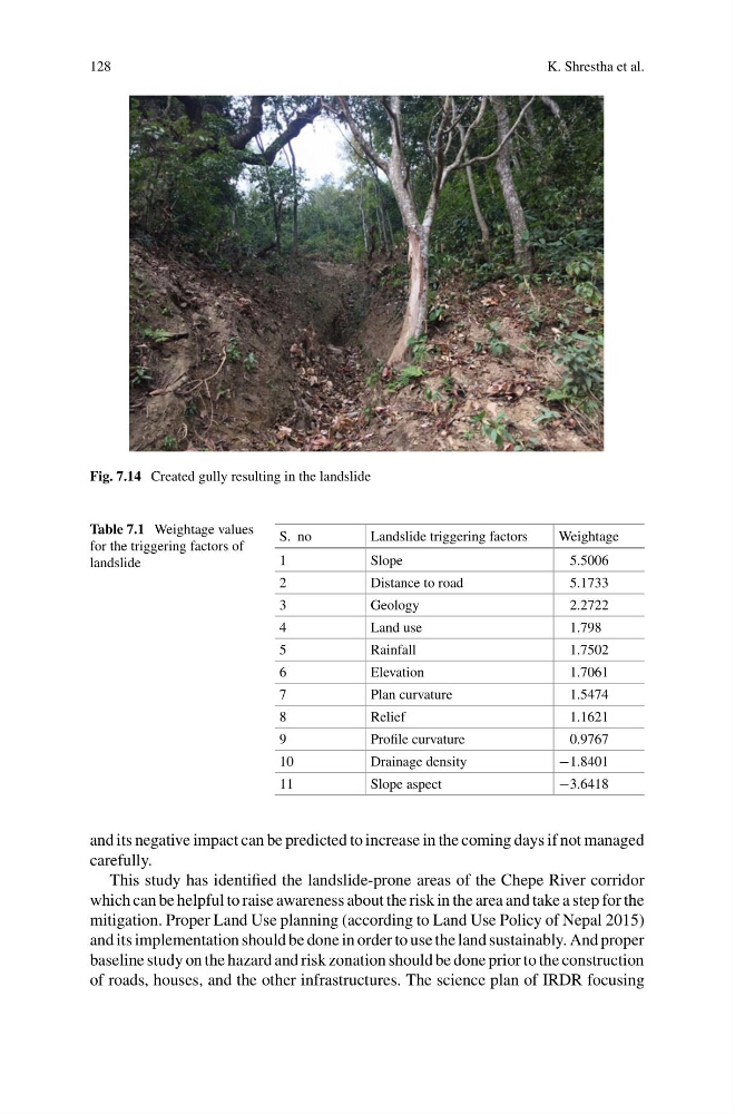
Fig. 7.14 Created gully resulting in the landslide
Table 7.1 Weightage values
for the triggering factors of
landslide
S. no
Landslide triggering factors
Weightage
1
Slope
5.5006
2
Distance to road
5.1733
3
Geology
2.2722
4
Land use
1.798
5
Rainfall
1.7502
6
Elevation
1.7061
7
Plan curvature
1.5474
8
Relief
1.1621
9
Profile curvature
0.9767
10
Drainage density
−1.8401
11
Slope aspect
−3.6418
and its negative impact can be predicted to increase in the coming days if not managed
carefully.
This study has identified the landslide-prone areas of the Chepe River corridor
which can be helpful to raise awareness about the risk in the area and take a step for the
mitigation. Proper Land Use planning (according to Land Use Policy of Nepal 2015)
and its implementation should be done in order to use the land sustainably. And proper
baseline study on the hazard and risk zonation should be done prior to the construction
of roads, houses, and the other infrastructures. The science plan of IRDR focusing
K. Shrestha et al.
Fig. 7.14 Created gully resulting in the landslide
Table 7.1 Weightage values
for the triggering factors of
landslide
S. no
Landslide triggering factors
Weightage
1
Slope
5.5006
2
Distance to road
5.1733
3
Geology
2.2722
4
Land use
1.798
5
Rainfall
1.7502
6
Elevation
1.7061
7
Plan curvature
1.5474
8
Relief
1.1621
9
Profile curvature
0.9767
10
Drainage density
−1.8401
11
Slope aspect
−3.6418
and its negative impact can be predicted to increase in the coming days if not managed
carefully.
This study has identified the landslide-prone areas of the Chepe River corridor
which can be helpful to raise awareness about the risk in the area and take a step for the
mitigation. Proper Land Use planning (according to Land Use Policy of Nepal 2015)
and its implementation should be done in order to use the land sustainably. And proper
baseline study on the hazard and risk zonation should be done prior to the construction
of roads, houses, and the other infrastructures. The science plan of IRDR focusing