

The General Directorate of Soil department specialized in
conducting scientific studies and researches on soil, to
improve its properties, reclaiming new lands for agriculture
and protecting the soil from erosion, pollution and stress in
order to obtain the best possible production of various
agricultural crops. The General Directorate of Soil was also
tasked with the technical development in the field of irrigation and drainage management, as well as preparing specialized technical people in the field of soil science. The soil
department was renamed the Soil Management and Water
Use in the 1980s (Ben Mahmoud et al. 1984).
In 2001, a natural resource mapping project for agricultural use and planning was established in Libya in collaboration with the FAO experts under the Ministry of
Agriculture. The National coordinator of the project was Dr.
Khaled R. Ben Mahmoud with a stirring committee consists
of the following stake holders (Fig. 2.10).
• Ministry of Agriculture
• Department of Soil and Water Sciences, Faculty of
Agriculture, University of Tripoli
• Agricultural Research Centre.
• Department of Soil, Water Authority.
• Surveying Department
• Department of Climate in Libyan National Meteorological Center
• Libyan centre for Remote Sensing and Space Sciences
.
The Natural Resource Mapping Project for Agricultural
Use and Planning is specialized for (LIB00/004 2007):
• Digitizing all topographic, soil and land maps and consolidating the data and information they contain.
• Building databases of natural resources (soil, water, climate) and their management systems.
• Building a Land Resource Information Management
System in Libya (LRIMS).
• Mapping land/vegetation cover in Libya.
• Monitoring and assessing land degradation, and then
preparing maps and identifying areas affected by desertification that require rapid intervention.
• Preparing an appropriate national methodology for
drought control and then reducing its effects.
• Developing different scenarios of early warning for food
security risks under climate changes.
• Training some of local experts in the areas of GIS, remote
sensing, land/vegetation covers and preparing digital maps.
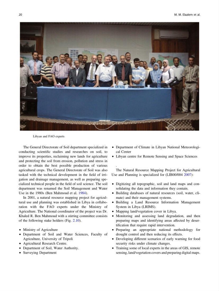
Fig. 2.10 Libyan and FAO experts
20
M. M. Elaalem et al.
conducting scientific studies and researches on soil, to
improve its properties, reclaiming new lands for agriculture
and protecting the soil from erosion, pollution and stress in
order to obtain the best possible production of various
agricultural crops. The General Directorate of Soil was also
tasked with the technical development in the field of irrigation and drainage management, as well as preparing specialized technical people in the field of soil science. The soil
department was renamed the Soil Management and Water
Use in the 1980s (Ben Mahmoud et al. 1984).
In 2001, a natural resource mapping project for agricultural use and planning was established in Libya in collaboration with the FAO experts under the Ministry of
Agriculture. The National coordinator of the project was Dr.
Khaled R. Ben Mahmoud with a stirring committee consists
of the following stake holders (Fig. 2.10).
• Ministry of Agriculture
• Department of Soil and Water Sciences, Faculty of
Agriculture, University of Tripoli
• Agricultural Research Centre.
• Department of Soil, Water Authority.
• Surveying Department
• Department of Climate in Libyan National Meteorological Center
• Libyan centre for Remote Sensing and Space Sciences
.
The Natural Resource Mapping Project for Agricultural
Use and Planning is specialized for (LIB00/004 2007):
• Digitizing all topographic, soil and land maps and consolidating the data and information they contain.
• Building databases of natural resources (soil, water, climate) and their management systems.
• Building a Land Resource Information Management
System in Libya (LRIMS).
• Mapping land/vegetation cover in Libya.
• Monitoring and assessing land degradation, and then
preparing maps and identifying areas affected by desertification that require rapid intervention.
• Preparing an appropriate national methodology for
drought control and then reducing its effects.
• Developing different scenarios of early warning for food
security risks under climate changes.
• Training some of local experts in the areas of GIS, remote
sensing, land/vegetation covers and preparing digital maps.
Fig. 2.10 Libyan and FAO experts
20
M. M. Elaalem et al.