

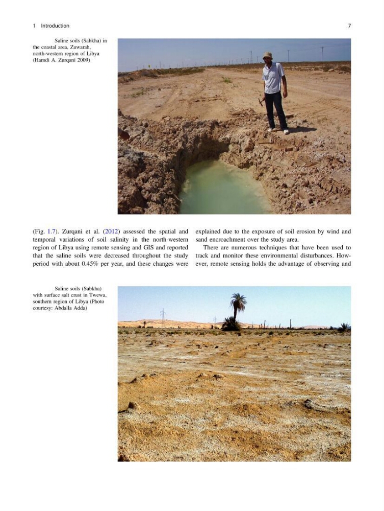
(Fig. 1.7). Zurqani et al. (2012) assessed the spatial and
temporal variations of soil salinity in the north-western
region of Libya using remote sensing and GIS and reported
that the saline soils were decreased throughout the study
period with about 0.45% per year, and these changes were
explained due to the exposure of soil erosion by wind and
sand encroachment over the study area.
There are numerous techniques that have been used to
track and monitor these environmental disturbances. However, remote sensing holds the advantage of observing and
Fig. 1.6 Saline soils (Sabkha) in
the coastal area, Zuwarah,
north-western region of Libya
(Hamdi A. Zurqani 2009)
Fig. 1.7 Saline soils (Sabkha)
with surface salt crust in Twewa,
southern region of Libya (Photo
courtesy: Abdalla Adda)
1 Introduction
7
temporal variations of soil salinity in the north-western
region of Libya using remote sensing and GIS and reported
that the saline soils were decreased throughout the study
period with about 0.45% per year, and these changes were
explained due to the exposure of soil erosion by wind and
sand encroachment over the study area.
There are numerous techniques that have been used to
track and monitor these environmental disturbances. However, remote sensing holds the advantage of observing and
Fig. 1.6 Saline soils (Sabkha) in
the coastal area, Zuwarah,
north-western region of Libya
(Hamdi A. Zurqani 2009)
Fig. 1.7 Saline soils (Sabkha)
with surface salt crust in Twewa,
southern region of Libya (Photo
courtesy: Abdalla Adda)
1 Introduction
7