

673
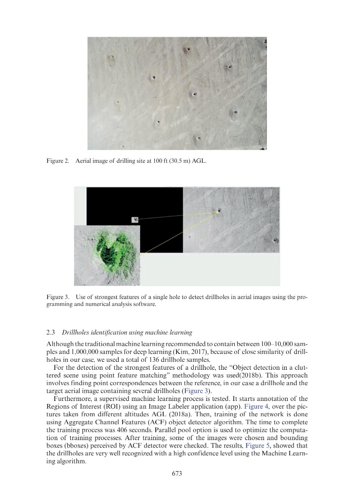
Figure 2. Aerial image of drilling site at 100 ft (30.5 m) AGL.
Figure 3. Use of strongest features of a single hole to detect drillholes in aerial images using the programming and numerical analysis software.
2.3 Drillholes identification using machine learning
Although the traditional machine learning recommended to contain between 100–10,000 samples and 1,000,000 samples for deep learning (Kim, 2017), because of close similarity of drillholes in our case, we used a total of 136 drillhole samples.
For the detection of the strongest features of a drillhole, the “Object detection in a cluttered scene using point feature matching” methodology was used(2018b). This approach
involves finding point correspondences between the reference, in our case a drillhole and the
target aerial image containing several drillholes (Figure 3).
Furthermore, a supervised machine learning process is tested. It starts annotation of the
Regions of Interest (ROI) using an Image Labeler application (app). Figure 4, over the pictures taken from different altitudes AGL (2018a). Then, training of the network is done
using Aggregate Channel Features (ACF) object detector algorithm. The time to complete
the training process was 406 seconds. Parallel pool option is used to optimize the computation of training processes. After training, some of the images were chosen and bounding
boxes (bboxes) perceived by ACF detector were checked. The results, Figure 5, showed that
the drillholes are very well recognized with a high confidence level using the Machine Learning algorithm.