

91
distribution of phosphate outcrop with a geologic map which was done by the Tunisian Mining Service TMS Company after a detailed field and laboratory work. Phosphate Rocks are
detected in the different perspectives of Gassaa Kebira and Kef Ellouz, already identified and
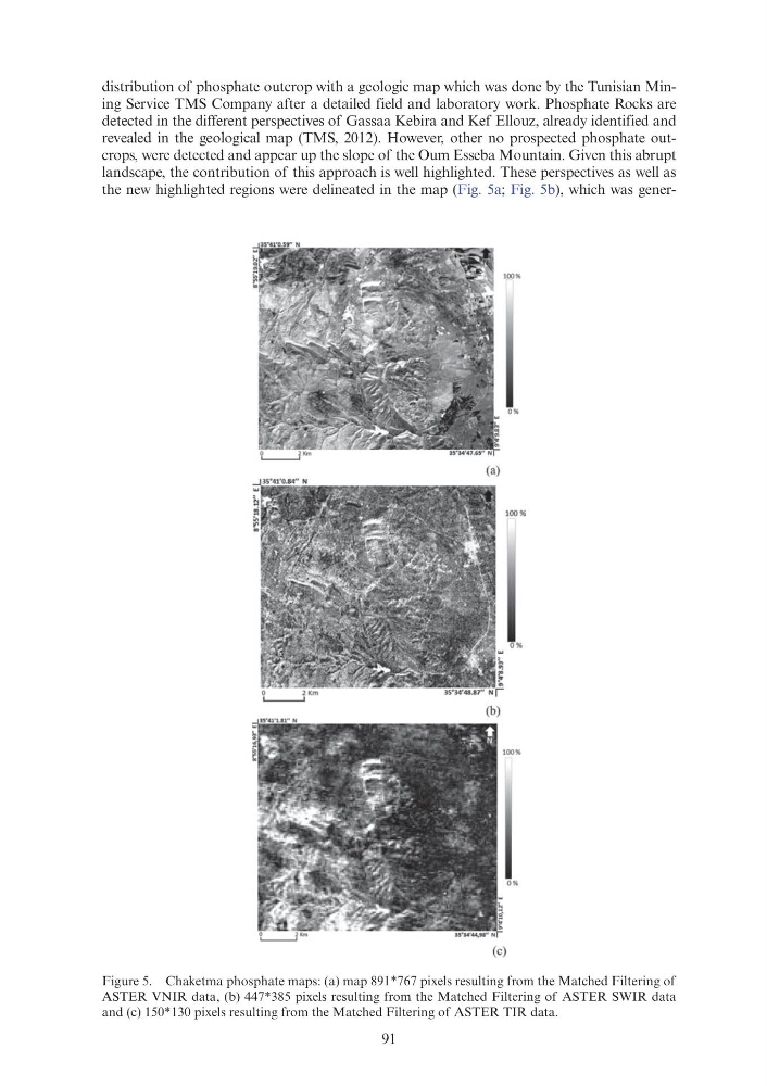
revealed in the geological map (TMS, 2012). However, other no prospected phosphate outcrops, were detected and appear up the slope of the Oum Esseba Mountain. Given this abrupt
landscape, the contribution of this approach is well highlighted. These perspectives as well as
the new highlighted regions were delineated in the map (Fig. 5a; Fig. 5b), which was generFigure 5. Chaketma phosphate maps: (a) map 891*767 pixels resulting from the Matched Filtering of
ASTER VNIR data, (b) 447*385 pixels resulting from the Matched Filtering of ASTER SWIR data
and (c) 150*130 pixels resulting from the Matched Filtering of ASTER TIR data.
distribution of phosphate outcrop with a geologic map which was done by the Tunisian Mining Service TMS Company after a detailed field and laboratory work. Phosphate Rocks are
detected in the different perspectives of Gassaa Kebira and Kef Ellouz, already identified and
revealed in the geological map (TMS, 2012). However, other no prospected phosphate outcrops, were detected and appear up the slope of the Oum Esseba Mountain. Given this abrupt
landscape, the contribution of this approach is well highlighted. These perspectives as well as
the new highlighted regions were delineated in the map (Fig. 5a; Fig. 5b), which was generFigure 5. Chaketma phosphate maps: (a) map 891*767 pixels resulting from the Matched Filtering of
ASTER VNIR data, (b) 447*385 pixels resulting from the Matched Filtering of ASTER SWIR data
and (c) 150*130 pixels resulting from the Matched Filtering of ASTER TIR data.