

Hydrochemical Analysis of Six Sacred Lakes …
53
Location: North Sikkim
Coordinates: 27°20 46 N - 88°49 06
Maximum length: 5.34 km (3.32 miles)
Maximum width: 0.9km (0.56 miles)
Surface area: 118 hectares (290 acres)
Surface elevation: 5430 m (17, 800 ft)
Fig. 2 Gurudongmar lake. Source Google Images
Gurudongmar lake is a moraine-dammed lake fed by the of Gurudongmar glacier.
Surface area of the lake expands and contracts following glacier dynamics as well
as due to melting and freezing of ice and snow.
Several streams originate from the Gurudongmar lake and join the Tso Lahmu
lake, which together act as the source of Teesta, the main river of Sikkim. This
glacial lake remains completely frozen in the winter months during November to
May. Although the lake is very big (118 hecters) with a peripheral length of 5.34 km,
major part is not visible due to hilly topography. Due to high altitude, oxygen is very
low resulting barren landscape with no vegetation. Gurudongmar lake is probably the
most sacred lake in Sikkim regarded by the Buddhist and the larger Hindu community.
Although the lake water appears very clean, it may contain impurities and pollutants.
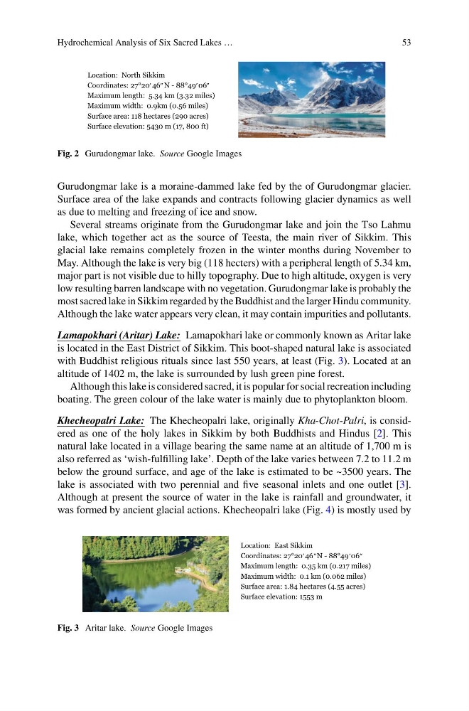
Lamapokhari (Aritar) Lake: Lamapokhari lake or commonly known as Aritar lake
is located in the East District of Sikkim. This boot-shaped natural lake is associated
with Buddhist religious rituals since last 550 years, at least (Fig. 3). Located at an
altitude of 1402 m, the lake is surrounded by lush green pine forest.
Although this lake is considered sacred, it is popular for social recreation including
boating. The green colour of the lake water is mainly due to phytoplankton bloom.
Khecheopalri Lake: The Khecheopalri lake, originally Kha-Chot-Palri, is considered as one of the holy lakes in Sikkim by both Buddhists and Hindus [2]. This
natural lake located in a village bearing the same name at an altitude of 1,700 m is
also referred as ‘wish-fulfilling lake’. Depth of the lake varies between 7.2 to 11.2 m
below the ground surface, and age of the lake is estimated to be ~3500 years. The
lake is associated with two perennial and five seasonal inlets and one outlet [3].
Although at present the source of water in the lake is rainfall and groundwater, it
was formed by ancient glacial actions. Khecheopalri lake (Fig. 4) is mostly used by
Location: East Sikkim
Coordinates: 27°20 46 N - 88°49 06
Maximum length: 0.35 km (0.217 miles)
Maximum width: 0.1 km (0.062 miles)
Surface area: 1.84 hectares (4.55 acres)
Surface elevation: 1553 m
Fig. 3 Aritar lake. Source Google Images
53
Location: North Sikkim
Coordinates: 27°20 46 N - 88°49 06
Maximum length: 5.34 km (3.32 miles)
Maximum width: 0.9km (0.56 miles)
Surface area: 118 hectares (290 acres)
Surface elevation: 5430 m (17, 800 ft)
Fig. 2 Gurudongmar lake. Source Google Images
Gurudongmar lake is a moraine-dammed lake fed by the of Gurudongmar glacier.
Surface area of the lake expands and contracts following glacier dynamics as well
as due to melting and freezing of ice and snow.
Several streams originate from the Gurudongmar lake and join the Tso Lahmu
lake, which together act as the source of Teesta, the main river of Sikkim. This
glacial lake remains completely frozen in the winter months during November to
May. Although the lake is very big (118 hecters) with a peripheral length of 5.34 km,
major part is not visible due to hilly topography. Due to high altitude, oxygen is very
low resulting barren landscape with no vegetation. Gurudongmar lake is probably the
most sacred lake in Sikkim regarded by the Buddhist and the larger Hindu community.
Although the lake water appears very clean, it may contain impurities and pollutants.
Lamapokhari (Aritar) Lake: Lamapokhari lake or commonly known as Aritar lake
is located in the East District of Sikkim. This boot-shaped natural lake is associated
with Buddhist religious rituals since last 550 years, at least (Fig. 3). Located at an
altitude of 1402 m, the lake is surrounded by lush green pine forest.
Although this lake is considered sacred, it is popular for social recreation including
boating. The green colour of the lake water is mainly due to phytoplankton bloom.
Khecheopalri Lake: The Khecheopalri lake, originally Kha-Chot-Palri, is considered as one of the holy lakes in Sikkim by both Buddhists and Hindus [2]. This
natural lake located in a village bearing the same name at an altitude of 1,700 m is
also referred as ‘wish-fulfilling lake’. Depth of the lake varies between 7.2 to 11.2 m
below the ground surface, and age of the lake is estimated to be ~3500 years. The
lake is associated with two perennial and five seasonal inlets and one outlet [3].
Although at present the source of water in the lake is rainfall and groundwater, it
was formed by ancient glacial actions. Khecheopalri lake (Fig. 4) is mostly used by
Location: East Sikkim
Coordinates: 27°20 46 N - 88°49 06
Maximum length: 0.35 km (0.217 miles)
Maximum width: 0.1 km (0.062 miles)
Surface area: 1.84 hectares (4.55 acres)
Surface elevation: 1553 m
Fig. 3 Aritar lake. Source Google Images