

detect the flight conflict fast and efficiently and give optimal conflict resolution in
complex conditions, many scholars have done relevant research works. In 1964, Reich
established the aircraft collision model theory [8], in which the aircraft was assumed to
be a cuboid, thus the flight conflict detection only needs to detect whether the point
collided with the cuboid. Folton proposed the idea of computational geometry to solve
the problem of multi-aircraft collision detection [9], which uses the proximity of
Voronoi polygon to reduce the number of detection between two aircraft. Anderson and
Lin built a cross-route collision avoidance model based on the conflict area [10].
Erdmann proposed the collision-free path to prevent collisions between aircrafts [11].
The above researches mainly focus on the medium and long-term conflict detection,
without considering the maneuverability of multiple aircraft in the short-term detection
process. The above methods mainly focus on the medium and long-term conflict
detection of aircraft, without considering the maneuverability of multiple aircraft in the
short-term detection process.
While this paper focuses on resolving the short-term flight conflict and represents a
conflict detection and resolution method based on digital grid partition, which established the spatial grid model to discretize the kinematics model into decision-making
model. Through the model transformation, the short-term reachable region of the aircraft can be represented by grid numbers, which can reduce the complexity of the
algorithm for multi-aircraft conflict detection. Besides, the dynamic programming
algorithm based the grid model is used for solving conflict resolution problems. This
method can obtain the conflict resolution in real-time, as a terminal control means, it
can reduce the burden of personnel as well as human errors, and provide guarantee for
flight safety.
2 Mathematical Model
2.1 Spatial Grid Model
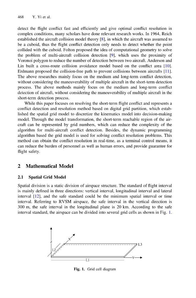
Spatial division is a static division of airspace structure. The standard of flight interval
is mainly defined in three directions: vertical interval, longitudinal interval and lateral
interval [12], and the safe standard could be the minimum spatial interval or time
interval. Referring to RVSM airspace, the safe interval in the vertical direction is
300 m, the safe interval in the longitudinal plane is 20 km. According to the safe
interval standard, the airspace can be divided into several grid cells as shown in Fig. 1.
Y
Z
L3
Fig. 1. Grid cell diagram
468
Y. Yi et al.