

7.1 Brazilian Cerrado
The Brazilian Cerrado (Fig. 4), located between the Equator and Tropic of Capricorn
covers an area of approximately two million km
2 .
Most geological substrates are extremely old rocks of the Precambrian (gneiss,
schist, granite) and Palaeozoic and Mesozoic basalt, sandstone, and shale. The soils
are predominantly well-drained, acidic, extremely nutrient-poor, and rich in aluminium and iron oxides (oxisols). Other soils are ultisols, very sandy or shallow entisols,
and cambisols.
Without fertilization grazing by livestock was almost impossible because the
nutritional value of the landscape was too small, the animals did not grow properly
and became ill.
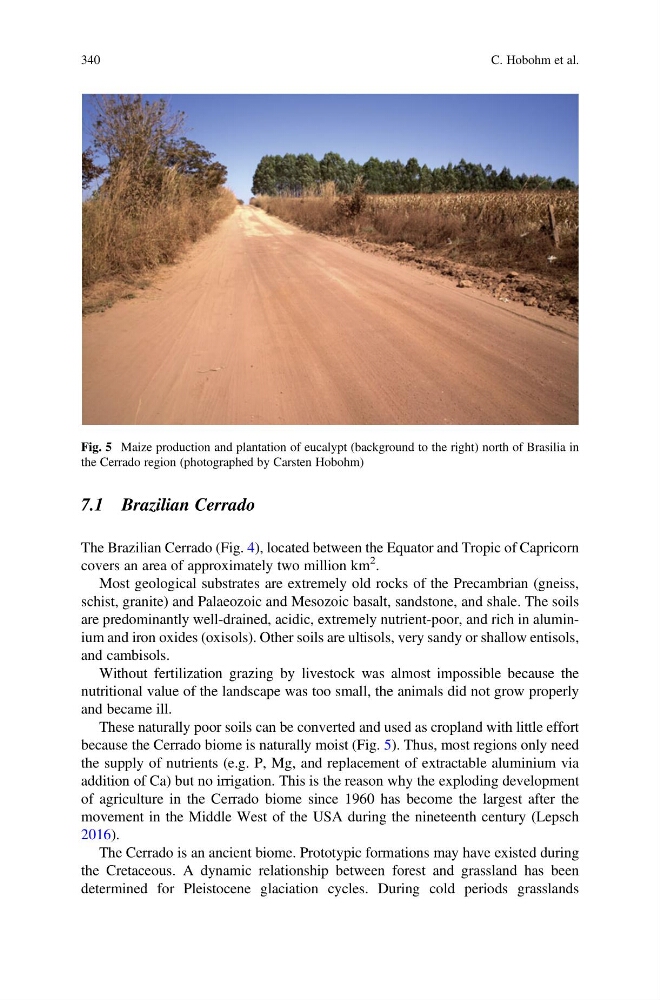
These naturally poor soils can be converted and used as cropland with little effort
because the Cerrado biome is naturally moist (Fig. 5). Thus, most regions only need
the supply of nutrients (e.g. P, Mg, and replacement of extractable aluminium via
addition of Ca) but no irrigation. This is the reason why the exploding development
of agriculture in the Cerrado biome since 1960 has become the largest after the
movement in the Middle West of the USA during the nineteenth century (Lepsch
2016).
The Cerrado is an ancient biome. Prototypic formations may have existed during
the Cretaceous. A dynamic relationship between forest and grassland has been
determined for Pleistocene glaciation cycles. During cold periods grasslands
Fig. 5 Maize production and plantation of eucalypt (background to the right) north of Brasilia in
the Cerrado region (photographed by Carsten Hobohm)
340
C. Hobohm et al.
The Brazilian Cerrado (Fig. 4), located between the Equator and Tropic of Capricorn
covers an area of approximately two million km
2 .
Most geological substrates are extremely old rocks of the Precambrian (gneiss,
schist, granite) and Palaeozoic and Mesozoic basalt, sandstone, and shale. The soils
are predominantly well-drained, acidic, extremely nutrient-poor, and rich in aluminium and iron oxides (oxisols). Other soils are ultisols, very sandy or shallow entisols,
and cambisols.
Without fertilization grazing by livestock was almost impossible because the
nutritional value of the landscape was too small, the animals did not grow properly
and became ill.
These naturally poor soils can be converted and used as cropland with little effort
because the Cerrado biome is naturally moist (Fig. 5). Thus, most regions only need
the supply of nutrients (e.g. P, Mg, and replacement of extractable aluminium via
addition of Ca) but no irrigation. This is the reason why the exploding development
of agriculture in the Cerrado biome since 1960 has become the largest after the
movement in the Middle West of the USA during the nineteenth century (Lepsch
2016).
The Cerrado is an ancient biome. Prototypic formations may have existed during
the Cretaceous. A dynamic relationship between forest and grassland has been
determined for Pleistocene glaciation cycles. During cold periods grasslands
Fig. 5 Maize production and plantation of eucalypt (background to the right) north of Brasilia in
the Cerrado region (photographed by Carsten Hobohm)
340
C. Hobohm et al.