

corrected before the data are used quantitatively. This chapter discusses some of the
latest advances in the measurement and forecasting of precipitation with weather
radar and some of the techniques proposed in the literature to correct and adjust radar
rainfall estimates.
Keywords Bias correction, Flood forecasting, Precipitation forecasting, Rainfall
estimation, Urban hydrology, Weather radar
1 Introduction
Water and environmental management increasingly require rainfall products with
good spatial and temporal resolutions over the region of interest for planning and risk
assessment. Weather radars are instruments capable to provide rainfall measurements with suitable spatial and temporal resolutions. The radar (an acronym for
RAdio Detection And Ranging) was developed during the Second World War to
detect enemy aircraft at sufficiently long distances to react to the threat. However,
military users of radar often found radar echoes cluttered with precipitation targets.
They realized that radar systems were sensitive enough to be able to detect precipitation. One of the first observations of precipitation made by radar was in 1941
[1]. Originally, weather radars were used for tracking balloons to determine upper
winds and for detection of precipitating cloud systems [2]. Since then, huge progress
has been made, both in terms of hardware and algorithm development. Nowadays,
weather radars can be used to estimate precipitation over large regions for hydrological and meteorological purposes such hydrological modelling, short-term precipitation forecasting, real-time flood forecasting, improving the initial conditions of
numerical weather models through data assimilation, cloud research, etc.
The operational principle of weather radar is that radar transmits short pulses
(with a wavelength between 2 and 10 cm) of electromagnetic radiation to precipitation particles. The returned signal from precipitation particles has information related
to their physical characteristics (e.g. target range, echo strength and velocity) within
the illuminated volume by the radar beam. The returned signal (or power reflected)
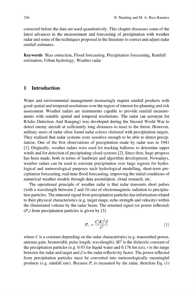
(P r ) from precipitation particles is given by [3]
P r ¼
C K
j j
2 Z
r 2
ð1Þ
where C is a constant depending on the radar characteristics (e.g. transmitted power,
antenna gain, beamwidth, pulse length, wavelength), |K|
2 is the dielectric constant of
the precipitation particles (e.g. 0.93 for liquid water and 0.176 for ice), r is the range
between the radar and target and Z is the radar reflectivity factor. The power reflected
from precipitation particles must be converted into meteorologically meaningful
products (e.g. rainfall rate). Because P r is measured by the radar, therefore Eq. (1)
236
N. Nanding and M. A. Rico-Ramirez
latest advances in the measurement and forecasting of precipitation with weather
radar and some of the techniques proposed in the literature to correct and adjust radar
rainfall estimates.
Keywords Bias correction, Flood forecasting, Precipitation forecasting, Rainfall
estimation, Urban hydrology, Weather radar
1 Introduction
Water and environmental management increasingly require rainfall products with
good spatial and temporal resolutions over the region of interest for planning and risk
assessment. Weather radars are instruments capable to provide rainfall measurements with suitable spatial and temporal resolutions. The radar (an acronym for
RAdio Detection And Ranging) was developed during the Second World War to
detect enemy aircraft at sufficiently long distances to react to the threat. However,
military users of radar often found radar echoes cluttered with precipitation targets.
They realized that radar systems were sensitive enough to be able to detect precipitation. One of the first observations of precipitation made by radar was in 1941
[1]. Originally, weather radars were used for tracking balloons to determine upper
winds and for detection of precipitating cloud systems [2]. Since then, huge progress
has been made, both in terms of hardware and algorithm development. Nowadays,
weather radars can be used to estimate precipitation over large regions for hydrological and meteorological purposes such hydrological modelling, short-term precipitation forecasting, real-time flood forecasting, improving the initial conditions of
numerical weather models through data assimilation, cloud research, etc.
The operational principle of weather radar is that radar transmits short pulses
(with a wavelength between 2 and 10 cm) of electromagnetic radiation to precipitation particles. The returned signal from precipitation particles has information related
to their physical characteristics (e.g. target range, echo strength and velocity) within
the illuminated volume by the radar beam. The returned signal (or power reflected)
(P r ) from precipitation particles is given by [3]
P r ¼
C K
j j
2 Z
r 2
ð1Þ
where C is a constant depending on the radar characteristics (e.g. transmitted power,
antenna gain, beamwidth, pulse length, wavelength), |K|
2 is the dielectric constant of
the precipitation particles (e.g. 0.93 for liquid water and 0.176 for ice), r is the range
between the radar and target and Z is the radar reflectivity factor. The power reflected
from precipitation particles must be converted into meteorologically meaningful
products (e.g. rainfall rate). Because P r is measured by the radar, therefore Eq. (1)
236
N. Nanding and M. A. Rico-Ramirez