

17 Strengthening Flood and Drought Risk Management Tools …
395
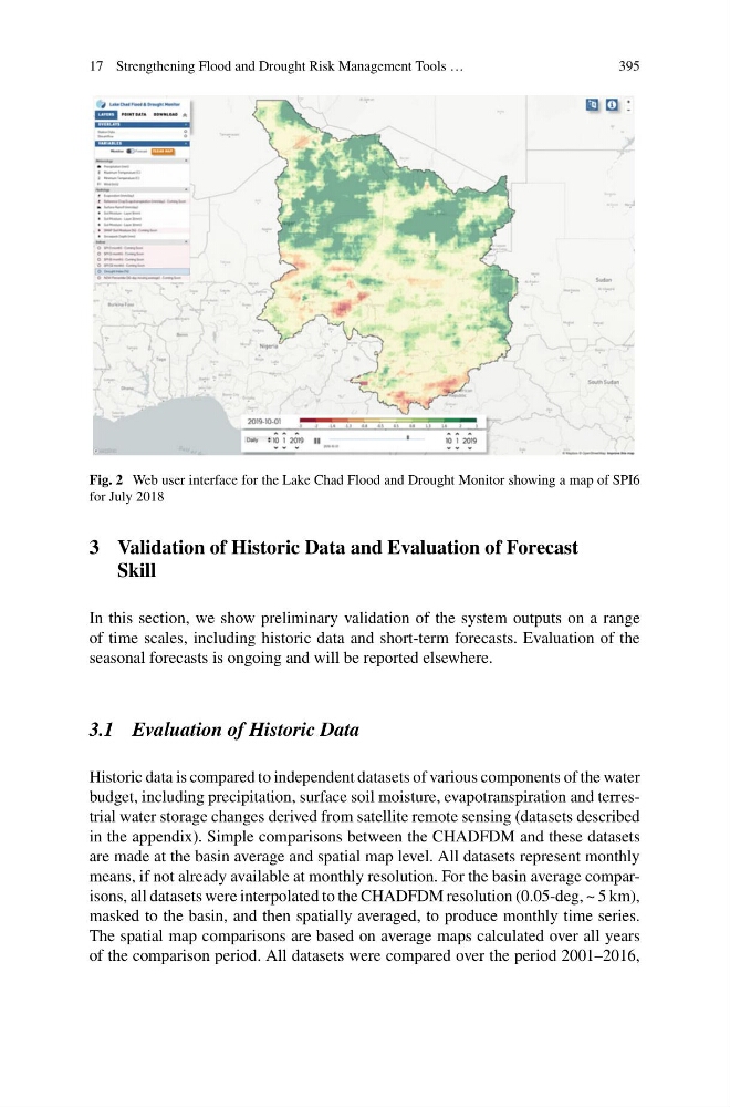
Fig. 2 Web user interface for the Lake Chad Flood and Drought Monitor showing a map of SPI6
for July 2018
3 Validation of Historic Data and Evaluation of Forecast
Skill
In this section, we show preliminary validation of the system outputs on a range
of time scales, including historic data and short-term forecasts. Evaluation of the
seasonal forecasts is ongoing and will be reported elsewhere.
3.1 Evaluation of Historic Data
Historic data is compared to independent datasets of various components of the water
budget, including precipitation, surface soil moisture, evapotranspiration and terrestrial water storage changes derived from satellite remote sensing (datasets described
in the appendix). Simple comparisons between the CHADFDM and these datasets
are made at the basin average and spatial map level. All datasets represent monthly
means, if not already available at monthly resolution. For the basin average comparisons, all datasets were interpolated to the CHADFDM resolution (0.05-deg, ~ 5 km),
masked to the basin, and then spatially averaged, to produce monthly time series.
The spatial map comparisons are based on average maps calculated over all years
of the comparison period. All datasets were compared over the period 2001–2016,
395
Fig. 2 Web user interface for the Lake Chad Flood and Drought Monitor showing a map of SPI6
for July 2018
3 Validation of Historic Data and Evaluation of Forecast
Skill
In this section, we show preliminary validation of the system outputs on a range
of time scales, including historic data and short-term forecasts. Evaluation of the
seasonal forecasts is ongoing and will be reported elsewhere.
3.1 Evaluation of Historic Data
Historic data is compared to independent datasets of various components of the water
budget, including precipitation, surface soil moisture, evapotranspiration and terrestrial water storage changes derived from satellite remote sensing (datasets described
in the appendix). Simple comparisons between the CHADFDM and these datasets
are made at the basin average and spatial map level. All datasets represent monthly
means, if not already available at monthly resolution. For the basin average comparisons, all datasets were interpolated to the CHADFDM resolution (0.05-deg, ~ 5 km),
masked to the basin, and then spatially averaged, to produce monthly time series.
The spatial map comparisons are based on average maps calculated over all years
of the comparison period. All datasets were compared over the period 2001–2016,