

interval lines of between 1000 and 2000 m. Crossline aligns perpendicular to the
baseline, with interval lines between 500 and 1000 m. Additional lines have been
required in case there are apparent infection points (e.g., rivers, ponds, small valleys,
and areas with gentle and steep slopes).
3.8.2 Peat Survey
3.8.2.1 Peat Depth Survey
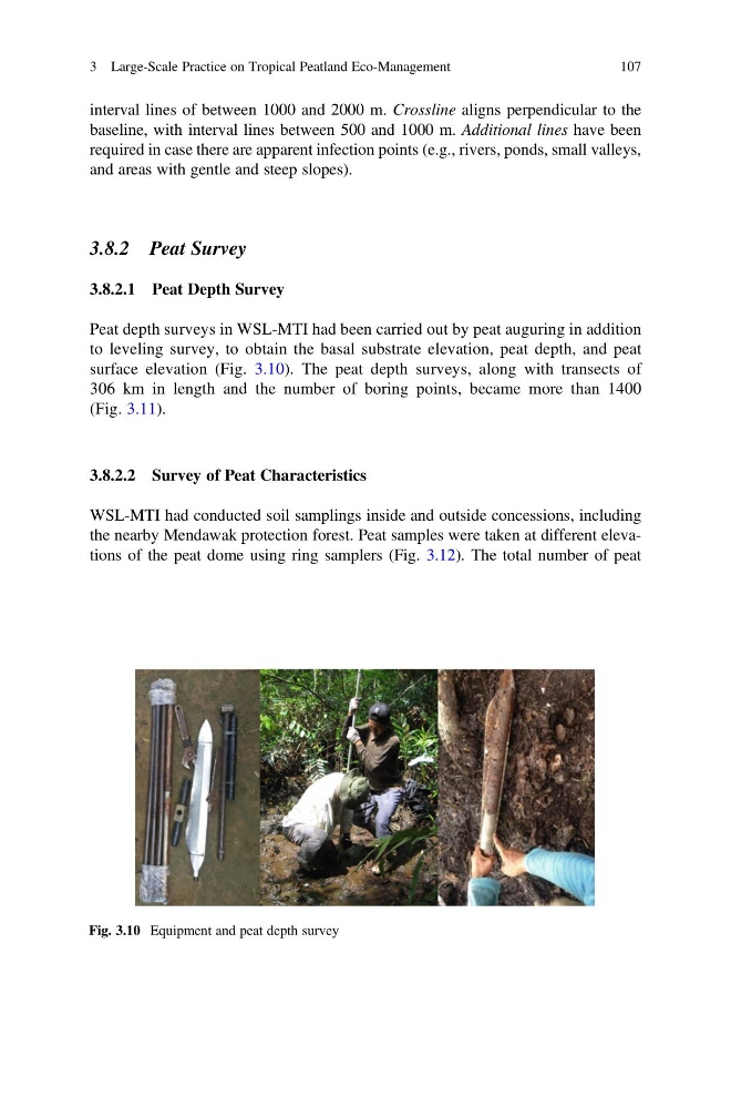
Peat depth surveys in WSL-MTI had been carried out by peat auguring in addition
to leveling survey, to obtain the basal substrate elevation, peat depth, and peat
surface elevation (Fig. 3.10). The peat depth surveys, along with transects of
306 km in length and the number of boring points, became more than 1400
(Fig. 3.11).
3.8.2.2 Survey of Peat Characteristics
WSL-MTI had conducted soil samplings inside and outside concessions, including
the nearby Mendawak protection forest. Peat samples were taken at different elevations of the peat dome using ring samplers (Fig. 3.12). The total number of peat
Fig. 3.10 Equipment and peat depth survey
3 Large-Scale Practice on Tropical Peatland Eco-Management
107
baseline, with interval lines between 500 and 1000 m. Additional lines have been
required in case there are apparent infection points (e.g., rivers, ponds, small valleys,
and areas with gentle and steep slopes).
3.8.2 Peat Survey
3.8.2.1 Peat Depth Survey
Peat depth surveys in WSL-MTI had been carried out by peat auguring in addition
to leveling survey, to obtain the basal substrate elevation, peat depth, and peat
surface elevation (Fig. 3.10). The peat depth surveys, along with transects of
306 km in length and the number of boring points, became more than 1400
(Fig. 3.11).
3.8.2.2 Survey of Peat Characteristics
WSL-MTI had conducted soil samplings inside and outside concessions, including
the nearby Mendawak protection forest. Peat samples were taken at different elevations of the peat dome using ring samplers (Fig. 3.12). The total number of peat
Fig. 3.10 Equipment and peat depth survey
3 Large-Scale Practice on Tropical Peatland Eco-Management
107