

230
Here z 1/2 ≡ z
(0) 1/2 ≡ −h and z N+1/2 ≡ ζ and thus the surface water height is
∆z k ≡ z k+1/2 − z k−1/2 , which is related to the unperturbed height of water depth
∆z
(0) k ≡ z
(0)
k+1/2 − z
(0) k−1/2 according to
∆
∆
z
z
h
k
k
=
+
( )
0 1
ζ
(12.12)
where the multiplier (1 + ζ/h) is independent of the vertical coordinate of earth surface where water surface elevation affects only the temperature increment (hence
∆z k = ∆z
(0)
k + ζ/N) regardless of its unperturbed size ∆z
(0) k in order to calculate the
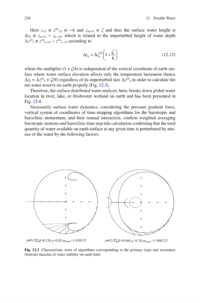
net water reserve on earth properly (Fig. 12.3).
Therefore, the surface distributed water analysis, here, breaks down global water
location in river, lake, or freshwater wetland on earth and has been presented in
Fig. 12.4.
Necessarily surface water dynamics, considering the pressure gradient force,
vertical system of coordinates of time-stepping algorithms for the barotropic and
baroclinic momentum, and their mutual interaction, confirm weighted averaging
barotropic motions and baroclinic time step tide calculation confirming that the total
quantity of water available on earth surface at any given time is perturbated by misuse of the water by the following factors.
Fig. 12.3 Characteristic roots of algorithms corresponding to the primary (top) and secondary
(bottom) maxima of water stability on earth limit
12 Potable Water
Here z 1/2 ≡ z
(0) 1/2 ≡ −h and z N+1/2 ≡ ζ and thus the surface water height is
∆z k ≡ z k+1/2 − z k−1/2 , which is related to the unperturbed height of water depth
∆z
(0) k ≡ z
(0)
k+1/2 − z
(0) k−1/2 according to
∆
∆
z
z
h
k
k
=
+
( )
0 1
ζ
(12.12)
where the multiplier (1 + ζ/h) is independent of the vertical coordinate of earth surface where water surface elevation affects only the temperature increment (hence
∆z k = ∆z
(0)
k + ζ/N) regardless of its unperturbed size ∆z
(0) k in order to calculate the
net water reserve on earth properly (Fig. 12.3).
Therefore, the surface distributed water analysis, here, breaks down global water
location in river, lake, or freshwater wetland on earth and has been presented in
Fig. 12.4.
Necessarily surface water dynamics, considering the pressure gradient force,
vertical system of coordinates of time-stepping algorithms for the barotropic and
baroclinic momentum, and their mutual interaction, confirm weighted averaging
barotropic motions and baroclinic time step tide calculation confirming that the total
quantity of water available on earth surface at any given time is perturbated by misuse of the water by the following factors.
Fig. 12.3 Characteristic roots of algorithms corresponding to the primary (top) and secondary
(bottom) maxima of water stability on earth limit
12 Potable Water