

16 Water Management in the Pomeranian Rivers Estuary Zone …
307
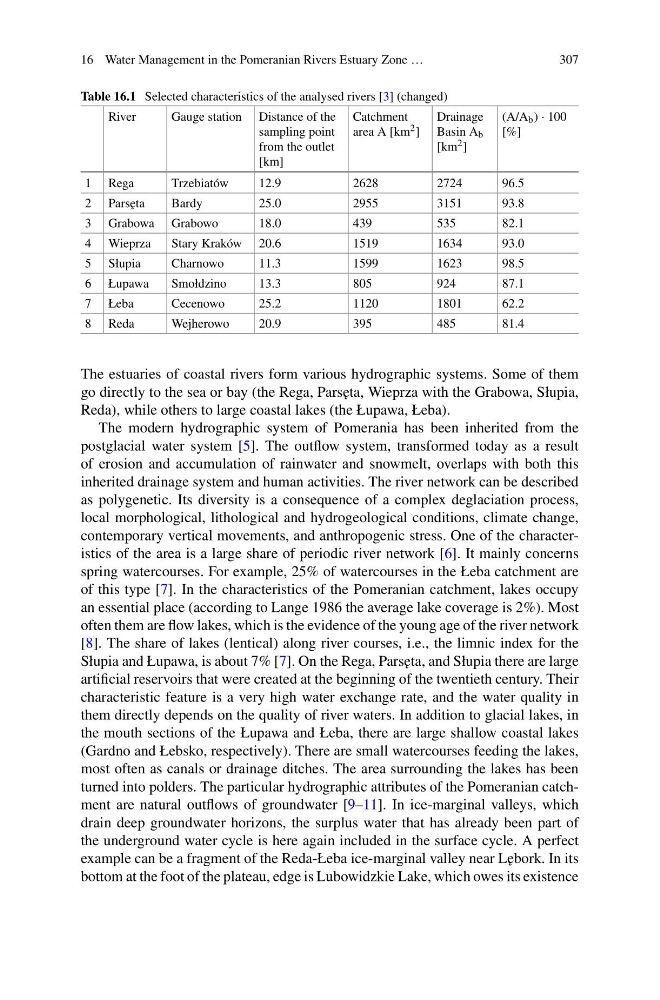
Table 16.1 Selected characteristics of the analysed rivers [3] (changed)
River
Gauge station Distance of the
sampling point
from the outlet
[km]
Catchment
area A [km 2 ]
Drainage
Basin A b
[km 2 ]
(A/A b ) · 100
[%]
1 Rega
Trzebiatów
12.9
2628
2724
96.5
2 Pars˛ eta
Bardy
25.0
2955
3151
93.8
3 Grabowa Grabowo
18.0
439
535
82.1
4 Wieprza
Stary Kraków 20.6
1519
1634
93.0
5 Słupia
Charnowo
11.3
1599
1623
98.5
6 Łupawa
Smołdzino
13.3
805
924
87.1
7 Łeba
Cecenowo
25.2
1120
1801
62.2
8 Reda
Wejherowo
20.9
395
485
81.4
The estuaries of coastal rivers form various hydrographic systems. Some of them
go directly to the sea or bay (the Rega, Pars˛ eta, Wieprza with the Grabowa, Słupia,
Reda), while others to large coastal lakes (the Łupawa, Łeba).
The modern hydrographic system of Pomerania has been inherited from the
postglacial water system [5]. The outflow system, transformed today as a result
of erosion and accumulation of rainwater and snowmelt, overlaps with both this
inherited drainage system and human activities. The river network can be described
as polygenetic. Its diversity is a consequence of a complex deglaciation process,
local morphological, lithological and hydrogeological conditions, climate change,
contemporary vertical movements, and anthropogenic stress. One of the characteristics of the area is a large share of periodic river network [6]. It mainly concerns
spring watercourses. For example, 25% of watercourses in the Łeba catchment are
of this type [7]. In the characteristics of the Pomeranian catchment, lakes occupy
an essential place (according to Lange 1986 the average lake coverage is 2%). Most
often them are flow lakes, which is the evidence of the young age of the river network
[8]. The share of lakes (lentical) along river courses, i.e., the limnic index for the
Słupia and Łupawa, is about 7% [7]. On the Rega, Pars˛ eta, and Słupia there are large
artificial reservoirs that were created at the beginning of the twentieth century. Their
characteristic feature is a very high water exchange rate, and the water quality in
them directly depends on the quality of river waters. In addition to glacial lakes, in
the mouth sections of the Łupawa and Łeba, there are large shallow coastal lakes
(Gardno and Łebsko, respectively). There are small watercourses feeding the lakes,
most often as canals or drainage ditches. The area surrounding the lakes has been
turned into polders. The particular hydrographic attributes of the Pomeranian catchment are natural outflows of groundwater [9–11]. In ice-marginal valleys, which
drain deep groundwater horizons, the surplus water that has already been part of
the underground water cycle is here again included in the surface cycle. A perfect
example can be a fragment of the Reda-Łeba ice-marginal valley near L˛ ebork. In its
bottom at the foot of the plateau, edge is Lubowidzkie Lake, which owes its existence
307
Table 16.1 Selected characteristics of the analysed rivers [3] (changed)
River
Gauge station Distance of the
sampling point
from the outlet
[km]
Catchment
area A [km 2 ]
Drainage
Basin A b
[km 2 ]
(A/A b ) · 100
[%]
1 Rega
Trzebiatów
12.9
2628
2724
96.5
2 Pars˛ eta
Bardy
25.0
2955
3151
93.8
3 Grabowa Grabowo
18.0
439
535
82.1
4 Wieprza
Stary Kraków 20.6
1519
1634
93.0
5 Słupia
Charnowo
11.3
1599
1623
98.5
6 Łupawa
Smołdzino
13.3
805
924
87.1
7 Łeba
Cecenowo
25.2
1120
1801
62.2
8 Reda
Wejherowo
20.9
395
485
81.4
The estuaries of coastal rivers form various hydrographic systems. Some of them
go directly to the sea or bay (the Rega, Pars˛ eta, Wieprza with the Grabowa, Słupia,
Reda), while others to large coastal lakes (the Łupawa, Łeba).
The modern hydrographic system of Pomerania has been inherited from the
postglacial water system [5]. The outflow system, transformed today as a result
of erosion and accumulation of rainwater and snowmelt, overlaps with both this
inherited drainage system and human activities. The river network can be described
as polygenetic. Its diversity is a consequence of a complex deglaciation process,
local morphological, lithological and hydrogeological conditions, climate change,
contemporary vertical movements, and anthropogenic stress. One of the characteristics of the area is a large share of periodic river network [6]. It mainly concerns
spring watercourses. For example, 25% of watercourses in the Łeba catchment are
of this type [7]. In the characteristics of the Pomeranian catchment, lakes occupy
an essential place (according to Lange 1986 the average lake coverage is 2%). Most
often them are flow lakes, which is the evidence of the young age of the river network
[8]. The share of lakes (lentical) along river courses, i.e., the limnic index for the
Słupia and Łupawa, is about 7% [7]. On the Rega, Pars˛ eta, and Słupia there are large
artificial reservoirs that were created at the beginning of the twentieth century. Their
characteristic feature is a very high water exchange rate, and the water quality in
them directly depends on the quality of river waters. In addition to glacial lakes, in
the mouth sections of the Łupawa and Łeba, there are large shallow coastal lakes
(Gardno and Łebsko, respectively). There are small watercourses feeding the lakes,
most often as canals or drainage ditches. The area surrounding the lakes has been
turned into polders. The particular hydrographic attributes of the Pomeranian catchment are natural outflows of groundwater [9–11]. In ice-marginal valleys, which
drain deep groundwater horizons, the surplus water that has already been part of
the underground water cycle is here again included in the surface cycle. A perfect
example can be a fragment of the Reda-Łeba ice-marginal valley near L˛ ebork. In its
bottom at the foot of the plateau, edge is Lubowidzkie Lake, which owes its existence