

Fig. 14.2 This satellite image shows relict flat-centered, ice-wedge
polygons at Highwood Glen, 25 km northeast of Sarnia, Ontario, in the
Huron Basin. The polygons are 70–160 m across and the fissures are
5–10 m across and attest to the presence of permafrost from ca. 13.8 to
ca. 12.4 ka ago
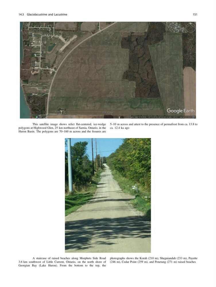
Fig. 14.3 A staircase of raised beaches along Morphets Side Road
3.6 km southwest of Little Current, Ontario, on the north shore of
Georgian Bay (Lake Huron). From the bottom to the top, the
photographs shows the Korah (210 m), Sheguiandah (233 m), Payette
(246 m), Cedar Point (259 m), and Penetang (271 m) raised beaches
14.3 Glaciolacustrine and Lacustrine
151
polygons at Highwood Glen, 25 km northeast of Sarnia, Ontario, in the
Huron Basin. The polygons are 70–160 m across and the fissures are
5–10 m across and attest to the presence of permafrost from ca. 13.8 to
ca. 12.4 ka ago
Fig. 14.3 A staircase of raised beaches along Morphets Side Road
3.6 km southwest of Little Current, Ontario, on the north shore of
Georgian Bay (Lake Huron). From the bottom to the top, the
photographs shows the Korah (210 m), Sheguiandah (233 m), Payette
(246 m), Cedar Point (259 m), and Penetang (271 m) raised beaches
14.3 Glaciolacustrine and Lacustrine
151