

145
River Basin watershed (Fig. 9.1). In this manner, I familiarized myself with most of
the Coastal Plain’s stratigraphic section exposed near the ground surface in North
Carolina, by obtaining and describing cores, making cross sections and integrating
these with landform analysis to construct geologic maps.
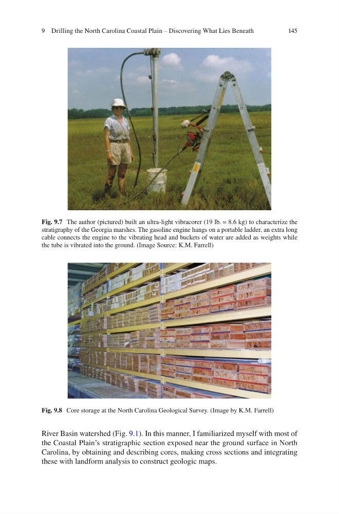
Fig. 9.7 The author (pictured) built an ultra-light vibracorer (19 lb. = 8.6 kg) to characterize the
stratigraphy of the Georgia marshes. The gasoline engine hangs on a portable ladder, an extra long
cable connects the engine to the vibrating head and buckets of water are added as weights while
the tube is vibrated into the ground. (Image Source: K.M. Farrell)
Fig. 9.8 Core storage at the North Carolina Geological Survey. (Image by K.M. Farrell)
9 Drilling the North Carolina Coastal Plain – Discovering What Lies Beneath
River Basin watershed (Fig. 9.1). In this manner, I familiarized myself with most of
the Coastal Plain’s stratigraphic section exposed near the ground surface in North
Carolina, by obtaining and describing cores, making cross sections and integrating
these with landform analysis to construct geologic maps.
Fig. 9.7 The author (pictured) built an ultra-light vibracorer (19 lb. = 8.6 kg) to characterize the
stratigraphy of the Georgia marshes. The gasoline engine hangs on a portable ladder, an extra long
cable connects the engine to the vibrating head and buckets of water are added as weights while
the tube is vibrated into the ground. (Image Source: K.M. Farrell)
Fig. 9.8 Core storage at the North Carolina Geological Survey. (Image by K.M. Farrell)
9 Drilling the North Carolina Coastal Plain – Discovering What Lies Beneath