

higher spatial statistical methods. Point or case event data preserve exact spatial
information that concerns the disease occurrences, though most times the use of
residential address is poorly related to individual exposure. An example of point
process methods in spatial epidemiology is when case-control matched data help to
investigate the health status of people living around potential environmental pollution sources, such as an incinerator. Despite there exists challenges like ecological
fallacy associated with areal level study designs, they are far more diffused in spatial
epidemiology than studies based on case event data, due to their immediate availability. In fact, count data are more closely matched with the background population
at risk, and exposure measurements are more reliably expressed as average exposure
at small area level than as individual level exposure measurements.
References
Al-Saadi J, Szykman J, Pierce RB, Kittaka C, Neil D, Chu DA et al (2005) Improving national air
quality forecasts with satellite aerosol observations. Bull Am Meteorol Soc 86(9):1249–À1261
Balakrishnan K, Ghosh S, Ganguli B, Sambandam S, Bruce N, Barnes DF, Smith KR (2013) State
and national household concentrations of PM2.5 from solid cook fuel use: results from measurements and modelling in India for estimation of the global burden of disease. Environ Heal
Glob Access Sci 12(1):77
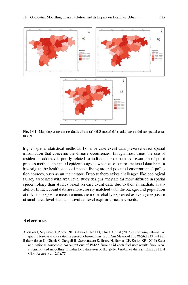
Fig. 18.1 Map depicting the residuals of the (a) OLS model (b) spatial lag model (c) spatial error
model
18 Geospatial Modelling of Air Pollution and its Impact on Health of Urban. . .
385
information that concerns the disease occurrences, though most times the use of
residential address is poorly related to individual exposure. An example of point
process methods in spatial epidemiology is when case-control matched data help to
investigate the health status of people living around potential environmental pollution sources, such as an incinerator. Despite there exists challenges like ecological
fallacy associated with areal level study designs, they are far more diffused in spatial
epidemiology than studies based on case event data, due to their immediate availability. In fact, count data are more closely matched with the background population
at risk, and exposure measurements are more reliably expressed as average exposure
at small area level than as individual level exposure measurements.
References
Al-Saadi J, Szykman J, Pierce RB, Kittaka C, Neil D, Chu DA et al (2005) Improving national air
quality forecasts with satellite aerosol observations. Bull Am Meteorol Soc 86(9):1249–À1261
Balakrishnan K, Ghosh S, Ganguli B, Sambandam S, Bruce N, Barnes DF, Smith KR (2013) State
and national household concentrations of PM2.5 from solid cook fuel use: results from measurements and modelling in India for estimation of the global burden of disease. Environ Heal
Glob Access Sci 12(1):77
Fig. 18.1 Map depicting the residuals of the (a) OLS model (b) spatial lag model (c) spatial error
model
18 Geospatial Modelling of Air Pollution and its Impact on Health of Urban. . .
385