

Statistical analysis
Satellite data
Geometric correction
Hydrologic and
hydraulic analyses
Maps
Digital Elevation
Model, Catchment
area, property
boundaries, etc
Supervised & unsupervised
classification
Land-water Categorization
Density slicing
Verification
GIS
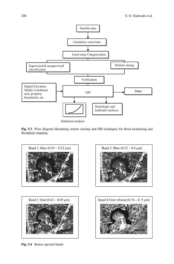
Fig. 5.3 Flow diagram illustrating remote sensing and GIS techniques for flood monitoring and
floodplain mapping
Band 1: Blue (0.45 – 0.52 µm)
Band 2: Blue (0.52 – 0.6 µm)
Band 3: Red (0.63 – 0.69 µm)
Band 4:Near nfrared (0.76 – 0. 9 µm)
Fig. 5.4 Ikonos spectral bands
206
S. O. Darkwah et al.
Satellite data
Geometric correction
Hydrologic and
hydraulic analyses
Maps
Digital Elevation
Model, Catchment
area, property
boundaries, etc
Supervised & unsupervised
classification
Land-water Categorization
Density slicing
Verification
GIS
Fig. 5.3 Flow diagram illustrating remote sensing and GIS techniques for flood monitoring and
floodplain mapping
Band 1: Blue (0.45 – 0.52 µm)
Band 2: Blue (0.52 – 0.6 µm)
Band 3: Red (0.63 – 0.69 µm)
Band 4:Near nfrared (0.76 – 0. 9 µm)
Fig. 5.4 Ikonos spectral bands
206
S. O. Darkwah et al.