

Triassic Bocigrou Formation (T1b). According to the local hydrogeological data,
the aquifer is abundant in water and the spring flow ranges from 0.2 to 0.8 L/s.
• Groundwater runoff, recharge and discharge conditions
The landfill is located on the west side of the Yala River, the primary tributary of
the Dadu River. Groundwater in the site is mainly composed of the fissure water of
shallow weathered metamorphic rocks and recharged by precipitation. Due to
factors such as topography, geology and surface water flow, rainwater replenishes
the groundwater through infiltration, and then it is discharged along the direction of
fissures to side trench of the landfill that ultimately enters the Yala River. The
hydrogeological plane and section are as shown in Figs. 5.30 and 5.31.
(2) Landfill overview and status quo
The landfill was built in 2004. The waste treatment process is designed to be waste
incineration and residue landfill. In practice, however, waste is completely sanitized
and landfilled without incineration due to various reasons. Now, waste approximately amounts to 70 t/d, far beyond the design landfill capacity. The design data
shows that the leachate treatment relies on evaporation using the back-spraying
technology, but the refuse dam and regulation pool were partially cracked due to
landfill damage in the 6.3-magnitude Kangding earthquake on November 22.
According to the field investigation, the following structures and functional areas
pose potential hazards:
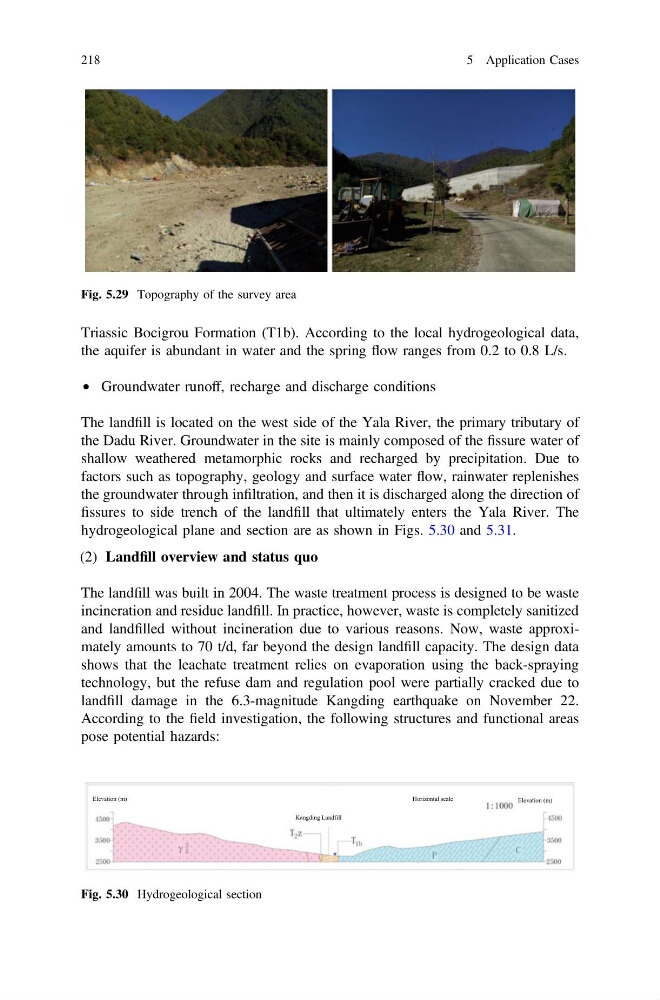
Fig. 5.29 Topography of the survey area
Elevation (m)
Elevation (m)
Kangding Landfill
Horizontal scale
Fig. 5.30 Hydrogeological section
218
5 Application Cases
the aquifer is abundant in water and the spring flow ranges from 0.2 to 0.8 L/s.
• Groundwater runoff, recharge and discharge conditions
The landfill is located on the west side of the Yala River, the primary tributary of
the Dadu River. Groundwater in the site is mainly composed of the fissure water of
shallow weathered metamorphic rocks and recharged by precipitation. Due to
factors such as topography, geology and surface water flow, rainwater replenishes
the groundwater through infiltration, and then it is discharged along the direction of
fissures to side trench of the landfill that ultimately enters the Yala River. The
hydrogeological plane and section are as shown in Figs. 5.30 and 5.31.
(2) Landfill overview and status quo
The landfill was built in 2004. The waste treatment process is designed to be waste
incineration and residue landfill. In practice, however, waste is completely sanitized
and landfilled without incineration due to various reasons. Now, waste approximately amounts to 70 t/d, far beyond the design landfill capacity. The design data
shows that the leachate treatment relies on evaporation using the back-spraying
technology, but the refuse dam and regulation pool were partially cracked due to
landfill damage in the 6.3-magnitude Kangding earthquake on November 22.
According to the field investigation, the following structures and functional areas
pose potential hazards:
Fig. 5.29 Topography of the survey area
Elevation (m)
Elevation (m)
Kangding Landfill
Horizontal scale
Fig. 5.30 Hydrogeological section
218
5 Application Cases