

Basin Model
In HEC-HMS in the basin model, the required inputs are LULC information,
hydrologic soil groups, curve number (CN), and rainfall event. The land use and
hydrologic soil group are processed in HEC-GeoHMS to generate CN for the basin.
The other physical characteristics of the basin, stream length, slope, location of
subbasin centroid, elevation, the longest flow path for each subbasin, and the length
along the stream path, are extracted from DEM.
Slope Classes of Koraiyar Basin
The slope is an essential measure for runoff in the basin. The slope map generated is
shown in Fig. 3.8. Slope less than 3
is considered as nearly level, and slope greater
than 15
was given importance because of runoff. In the Koraiyar basin, slope varies
from 0.5
to 53
. The SCS curve number is adopted in this study because of its
simplicity and requires only one parameter for each subbasin is the lag time. The lag
time is 0.6 times of concentration for the ungauged basin as per USGS (2012) and
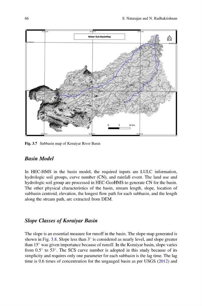
Fig. 3.7 Subbasin map of Koraiyar River Basin
66
S. Natarajan and N. Radhakrishnan
In HEC-HMS in the basin model, the required inputs are LULC information,
hydrologic soil groups, curve number (CN), and rainfall event. The land use and
hydrologic soil group are processed in HEC-GeoHMS to generate CN for the basin.
The other physical characteristics of the basin, stream length, slope, location of
subbasin centroid, elevation, the longest flow path for each subbasin, and the length
along the stream path, are extracted from DEM.
Slope Classes of Koraiyar Basin
The slope is an essential measure for runoff in the basin. The slope map generated is
shown in Fig. 3.8. Slope less than 3
is considered as nearly level, and slope greater
than 15
was given importance because of runoff. In the Koraiyar basin, slope varies
from 0.5
to 53
. The SCS curve number is adopted in this study because of its
simplicity and requires only one parameter for each subbasin is the lag time. The lag
time is 0.6 times of concentration for the ungauged basin as per USGS (2012) and
Fig. 3.7 Subbasin map of Koraiyar River Basin
66
S. Natarajan and N. Radhakrishnan