

62
M. Rz˛ etała
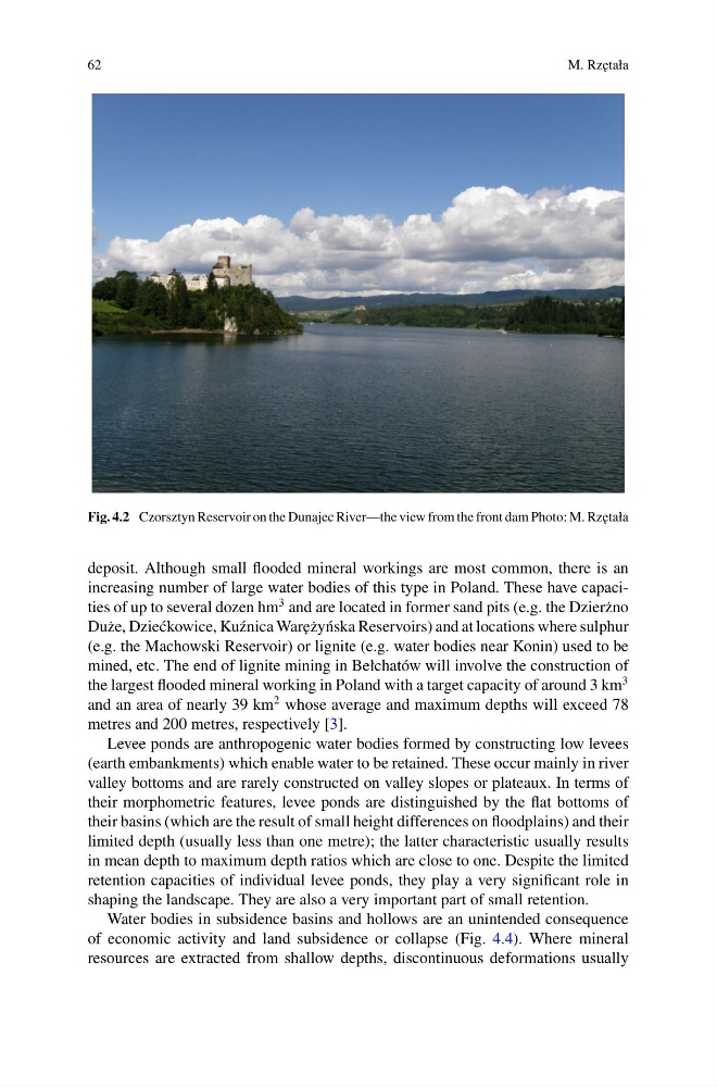
Fig. 4.2 Czorsztyn Reservoir on the Dunajec River—the view from the front dam Photo: M. Rz˛ etała
deposit. Although small flooded mineral workings are most common, there is an
increasing number of large water bodies of this type in Poland. These have capacities of up to several dozen hm
3 and are located in former sand pits (e.g. the Dzier˙ zno
Du˙ ze, Dzie´ ckowice, Ku´ znica War˛ e˙ zy´ nska Reservoirs) and at locations where sulphur
(e.g. the Machowski Reservoir) or lignite (e.g. water bodies near Konin) used to be
mined, etc. The end of lignite mining in Bełchatów will involve the construction of
the largest flooded mineral working in Poland with a target capacity of around 3 km
3
and an area of nearly 39 km
2 whose average and maximum depths will exceed 78
metres and 200 metres, respectively [3].
Levee ponds are anthropogenic water bodies formed by constructing low levees
(earth embankments) which enable water to be retained. These occur mainly in river
valley bottoms and are rarely constructed on valley slopes or plateaux. In terms of
their morphometric features, levee ponds are distinguished by the flat bottoms of
their basins (which are the result of small height differences on floodplains) and their
limited depth (usually less than one metre); the latter characteristic usually results
in mean depth to maximum depth ratios which are close to one. Despite the limited
retention capacities of individual levee ponds, they play a very significant role in
shaping the landscape. They are also a very important part of small retention.
Water bodies in subsidence basins and hollows are an unintended consequence
of economic activity and land subsidence or collapse (Fig. 4.4). Where mineral
resources are extracted from shallow depths, discontinuous deformations usually
M. Rz˛ etała
Fig. 4.2 Czorsztyn Reservoir on the Dunajec River—the view from the front dam Photo: M. Rz˛ etała
deposit. Although small flooded mineral workings are most common, there is an
increasing number of large water bodies of this type in Poland. These have capacities of up to several dozen hm
3 and are located in former sand pits (e.g. the Dzier˙ zno
Du˙ ze, Dzie´ ckowice, Ku´ znica War˛ e˙ zy´ nska Reservoirs) and at locations where sulphur
(e.g. the Machowski Reservoir) or lignite (e.g. water bodies near Konin) used to be
mined, etc. The end of lignite mining in Bełchatów will involve the construction of
the largest flooded mineral working in Poland with a target capacity of around 3 km
3
and an area of nearly 39 km
2 whose average and maximum depths will exceed 78
metres and 200 metres, respectively [3].
Levee ponds are anthropogenic water bodies formed by constructing low levees
(earth embankments) which enable water to be retained. These occur mainly in river
valley bottoms and are rarely constructed on valley slopes or plateaux. In terms of
their morphometric features, levee ponds are distinguished by the flat bottoms of
their basins (which are the result of small height differences on floodplains) and their
limited depth (usually less than one metre); the latter characteristic usually results
in mean depth to maximum depth ratios which are close to one. Despite the limited
retention capacities of individual levee ponds, they play a very significant role in
shaping the landscape. They are also a very important part of small retention.
Water bodies in subsidence basins and hollows are an unintended consequence
of economic activity and land subsidence or collapse (Fig. 4.4). Where mineral
resources are extracted from shallow depths, discontinuous deformations usually