

4.1 Stream Network Modification on the Versailles-Saclay
Plateau (1670–1860)
The Versailles plateau, situated 50 km west of Paris, is one of the earliest and best
documented examples of urban impacts on local streams (see location on Fig. 1).
The Versailles château, its gardens and fountains, and its homonymous city were
constructed in the late seventeenth century. At that time, the region was devoid of
major water resources, and the Sun King mandated his engineers to supply his
properties from two main water sources, (1) the famous Marly Machine, which
elevated the Seine River water (Fig. 5), and (2) the derivation of all headwaters of
the Saclay and Rambouillet plateaus to Versailles instead of flowing to the Yvette or
Bièvre river, through a complex network of dugout ponds, ditches and aqueducts,
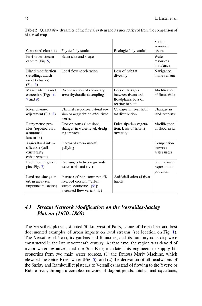
Table 2 Quantitative dynamics of the fluvial system and its uses retrieved from the comparison of
historical maps
Compared elements Physical dynamics
Ecological dynamics
Socioeconomic
issues
First-order stream
capture (Fig. 5)
Basin size and shape
Water
resources
imbalance
Island modification
(levelling, attachment to banks)
(Fig. 9)
Local flow acceleration
Loss of habitat
diversity
Navigation
improvement
Man-made channel
correction (Figs. 6,
7 and 9)
Disconnection of secondary
arms (hydraulic decoupling)
Loss of linkages
between rivers and
floodplains; loss of
rearing habitat
Modification
of flood risks
River channel
adjustment (Fig. 8)
Channel responses, lateral erosion or aggradation after river
works
Changes in river habitat distribution
Changes in
land property
Bathymetric profiles (reported on a
altitudinal
landmark)
Erosion zones (incision),
changes in water level, dredging impacts
Dried riparian vegetation. Loss of habitat
diversity
Modification
of flood risks
Agricultural intensification (soil
crustability
enhancement)
Increased storm runoff,
gullying
Competition
between
water users
Evolution of gravel
pits (Fig. 7)
Exchanges between groundwater table and river
Groundwater
exposure to
pollution
Land use change in
urban area (soil
impermeabilisation)
Increase of rain storm runoff,
riverbed erosion (“urban
stream syndrome” [55];
increased flow variability)
Artificialisation of river
habitat
46
L. Lestel et al.
Plateau (1670–1860)
The Versailles plateau, situated 50 km west of Paris, is one of the earliest and best
documented examples of urban impacts on local streams (see location on Fig. 1).
The Versailles château, its gardens and fountains, and its homonymous city were
constructed in the late seventeenth century. At that time, the region was devoid of
major water resources, and the Sun King mandated his engineers to supply his
properties from two main water sources, (1) the famous Marly Machine, which
elevated the Seine River water (Fig. 5), and (2) the derivation of all headwaters of
the Saclay and Rambouillet plateaus to Versailles instead of flowing to the Yvette or
Bièvre river, through a complex network of dugout ponds, ditches and aqueducts,
Table 2 Quantitative dynamics of the fluvial system and its uses retrieved from the comparison of
historical maps
Compared elements Physical dynamics
Ecological dynamics
Socioeconomic
issues
First-order stream
capture (Fig. 5)
Basin size and shape
Water
resources
imbalance
Island modification
(levelling, attachment to banks)
(Fig. 9)
Local flow acceleration
Loss of habitat
diversity
Navigation
improvement
Man-made channel
correction (Figs. 6,
7 and 9)
Disconnection of secondary
arms (hydraulic decoupling)
Loss of linkages
between rivers and
floodplains; loss of
rearing habitat
Modification
of flood risks
River channel
adjustment (Fig. 8)
Channel responses, lateral erosion or aggradation after river
works
Changes in river habitat distribution
Changes in
land property
Bathymetric profiles (reported on a
altitudinal
landmark)
Erosion zones (incision),
changes in water level, dredging impacts
Dried riparian vegetation. Loss of habitat
diversity
Modification
of flood risks
Agricultural intensification (soil
crustability
enhancement)
Increased storm runoff,
gullying
Competition
between
water users
Evolution of gravel
pits (Fig. 7)
Exchanges between groundwater table and river
Groundwater
exposure to
pollution
Land use change in
urban area (soil
impermeabilisation)
Increase of rain storm runoff,
riverbed erosion (“urban
stream syndrome” [55];
increased flow variability)
Artificialisation of river
habitat
46
L. Lestel et al.